Last February we took a look at how airborne lidar is revolutionizing the science of archeology in Lidar and The Lost City of the Monkey God. Lidar is nothing less than a godsend for the search for lost cities and civilizations. But it comes at a price, one that cash-strapped archeologists can’t always afford.
I’d like to talk about another airborne technology that is being used in smaller-scale projects where cost-effective UAS are being employed: multispectral sensing.
Any discussion of multispectral sensors usually leads to precision agriculture applications where these nifty little sensors are indeed being put to good use. However, a recent project in the U.K. shows how multispectral sensing and UAS can also be combined to help find buried archaeological features not seen with geophysical ground surveys.
It works like this: underground structures have a subtle, but thanks to multispectral sensing, detectable effect on ground vegetation. Chlorophyll is the metric in question; subtle differences in chlorophyll levels can indicate the presence of buried structures. Henry Webber, a Ph.D. candidate at the University of Bristol’s Department of Archaeology and Anthropology, has been collecting data using a UAS with MicaSense’s RedEdge multispectral sensor. Using MicaSense’s Atlas software, a chlorophyll map was created that pointed out anomalies missed by geophysical surveys—in this case the map revealed an ancient Roman villa. Read the full story on the MicaSense blog.
Affordable archaeological aerial surveys. It’s a given that applying UAS tech as opposed to manned aircraft yields substantial cost savings for small-scale surveys. Now multispectral sensors are coming down in size—and cost. The MicaSense RedEdge-M is $4,900, and, as I write this, Parrot (a major partner of MicaSense) has just introduced its Sequoia+ at a mere $3,500. Both sensors are small enough to be compatible with a wide range of commercially available sUAS platforms. Naturally, purpose-built UAS AG solutions like senseFly’s eBee SQ and Parrot’s Disco Pro AG and Bluegrass have multispectral sensors built in. RedEdge-M and Sequoia+ both work with a wide array of post-processing software programs including Pix4D and Atlas.
There’s an even lower cost sensor technology that can be used in certain types of archeological projects. Next we’ll take a look at all the unmanned tech at the AUVSI conference in Denver, but I promise to come back to this later.
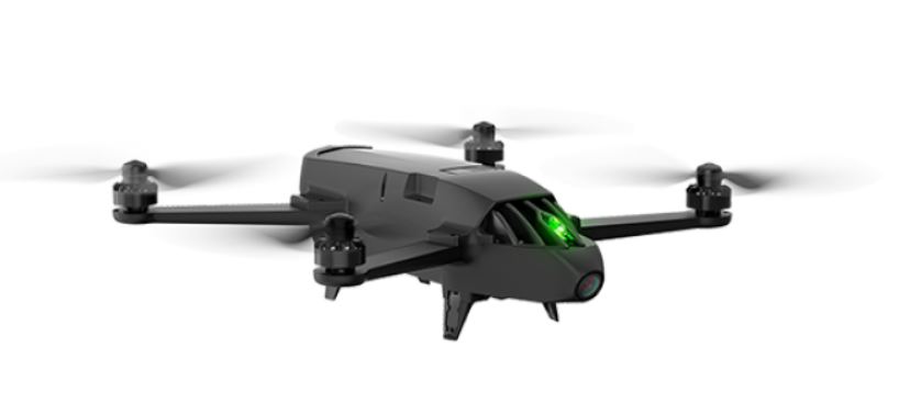
The image above is a Parrot Bluegrass.
This article appeared in xyHt‘s e-newsletter, Pangaea. We email it twice a month, and it covers a variety of unusual geospatial topics in a conversational tone. You’re welcome to subscribe to the e-newsletter here. (You’ll also receive the once-monthly Field Notes newsletter with your subscription.)