Category Archives: Spatial IT/GIS
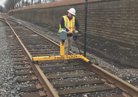
The Many Facets (and Faces) of Surveying
Surveyors have traditionally done a variety of essential and interesting work—and they continue to do so. We’ve asked surveyors from various work disciplines what inspires them. To get an idea of where we are going, it’s important to stop and take a look at where we have been. This rings especially true for those of...
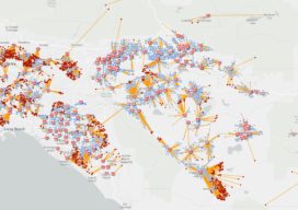
Smart Maps Guide COVID-19 Investigations and Actions
As hundreds of millions of eyes stay glued to the rising toll and reach of the novel coronavirus disease 2019 (COVID-19), map-based dashboards have become a compelling, near real-time way to monitor the outbreak. They’ve also substantiated the message that everyone must take precautions and alter daily interactions. When the World Health Organization (WHO) declared...
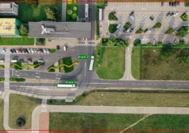
Using Object Detection for More Accurate Live Mapping
Almost a year ago today I was in a meeting where someone was telling me that the project we were working on needed to use LoRa positioning so that diggers and trucks could be tracked on a real-time map. I am not at liberty to give you my full response, but my professional response is...
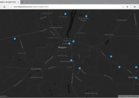
Creating a Web Map Using Mapbox
This blog is born out of pure frustration and my competitive nature. When I was looking at web mapping libraries, I looked at Mapbox and thought, “That will be easy.” Three days later I was pulling my hair out—then the next day I was smiling and happy. You see, Mapbox is similar to Leaflet in...
Open Source Field Capture
Recently I’ve been doing a bit of GIS training with environmental companies, mostly to help them make the move to open source software. You see, a few companies out there have propriety software licenses that are due to end, but the companies can’t justify the renewal when all they do is draw boundaries on a...
Creating a Web Map Using QGIS2Web
Almost two years ago to the day I wrote Webmapping 3.5 in which I did a walkthrough of QGIS2Web. Since then, QGIS has grown up, and so has QGIS2Web. In the original blog, I discussed how you could use OpenLayers and Leaflet as basemaps. Now you can use Mapbox, too. The layout is improved and...