Category Archives: Surveying
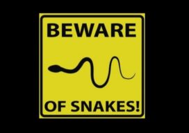
Careful Where You Step
Any surveyor who has spent more than a few days in the field knows insects, reptiles, and other critters that exist in the wild can ruin your day. Yellowjackets and other stinging bees are some of the more common causes of pain for surveyors in the eastern United States, but venomous snakes are the critters we worry most about encountering. I think...

The Early Days of 3D Scanning: Part 12
In this article, I’ll describe the early user community as Leica was in the process of entering the 3D scanning products business. Although most users at the time were struggling, there were some well-publicized breakthrough user successes that reinforced their belief in the technology’s upside.
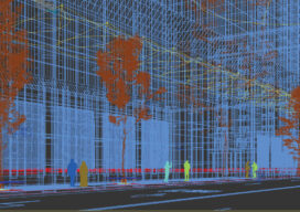
Creative Uses of 3D Modeling
The 3D data collected with laser scanners and digital cameras can be used to create digital and physical 3D models that have myriad applications—from marketing a new building to routing first responders in an emergency.
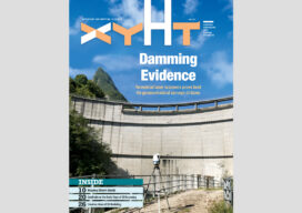
xyHt Magazine Digital Edition: June 2021
xyHt's June issue features hydrography and the need to survey everything water related.

MAPLand Act Gathering Support
The Modernizing Access to our Public Land (MAPLand) Act, which would direct federal land management agencies to digitize and standardize mapping records, has won the support of the National Society of Professional Surveyors (NSPS). The legislation, H.R. 3113, will allow hunters, anglers, and millions of other federal land users to access essential information about public lands...
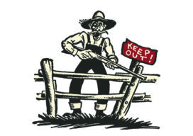
Sometimes It’s Just Best to Walk Away
Surveyors are usually a tough bunch and don’t normally retreat from difficulties. When there are thorns, thistles, and briars on line, they usually reach for the machete and carve a path through.