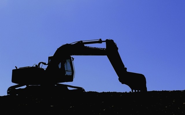
Construction Prospects, Part One
As we start a new year, it seems only fitting to take a look at what 2017 might hold in store for us. Let’s start with construction: a major source of income for the geospatial profession.
Dodge Data & Analytics publishes all types of data for the North American commercial and residential construction market.  The firm’s 2017 Construction Industry Forecast predicts about 5% growth to $713 billion. 2016 was a dismal 1% over 2015, which had a pretty good growth rate of 11%.
The construction market provides opportunities for the surveying profession in all phases of construction. In the pre-construction phase, we find land and improvement surveys, topographical surveys, and site plans. During construction, stake-outs and foundation surveys keep construction on track, while post-construction inspections, as-built surveys, and BIM provide vital confirmation and validation of construction projects. Tools to enhance the increasing digitization of construction projects are in a constant state of evolution, especially 3D scanners, robotic total stations, and UAS. Emerging geospatial technologies are helping increase the efficiency, productivity, and profitability of the construction market. Here are two recent developments that should be of interest of surveyors tackling construction projects:
- 3DR, as many have noticed, has recently pivoted from being wholly a UAS manufacturer to becoming a software provider with their new product Site Scan. Site Scan works by overlaying imagery collected from UAS with the original design, identifying errors before they become costly to fix. Site Scan is integrated with Autodesk, providing a seamless CAD workflow.
- Trimble and Umbra have teamed up to optimize 3D data. As part of Trimble’s Mixed-Reality pilot program, Umbra technology will be used to optimize the performance of 3D graphics applications. When viewing the 3D visualization, Umbra chooses the right level of detail and shows only the objects that are visible to the camera at any given time, basically streaming in only the necessary 3D assets based on what the user sees.
As significant as residential and commercial construction are, they do not represent the entire construction picture. Infrastructure-related construction has recently become a national issue; we will discuss in the next Pangaea.