Photogrammetry has changed substantially in the past three decades. When Jeff Yates began in the business 32 years ago, he used a projection system known as a Kelsh two-bucket plotter. “That was four generations ago of photogrammetric systems hardware,” he recalls. “From there, we went to the analog stereo plotter. That was the second big change in photogrammetric equipment during my compilation tenure. Later on, we switched over to the analytical instruments. Now, every-thing has gone digital, and all of those highly precise pieces of machinery and optics are functionally obsolete.”
These rapid changes in equipment have been disruptive, forcing practitioners to spend time learning new systems. “Those operators who did not change very readily from the mechanical instruments—both the analog and the analytical—to the digital ones, are no longer in the photogrammetric field,” says Yates. Because of this rapid technological change, the key challenge in photogrammetry today, he explains, consists of “recognizing what the latest trends are, learning to understand them, turning them into a commercial product, and earning a return on our investment before that becomes obsolete.”
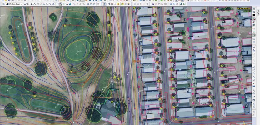
Despite all the advances in hardware and software, however, some key aspects of photogrammetry have not yet been fully automated with engineering-grade reliability. For example, software cannot yet reliably differentiate between building edges, utilities, and fence lines or between a small car and a rock boulder. Therefore, human operators are still required to interpret what they see in the 3D stereo model. “The ultimate goal is to make as much of the whole workflow as automated as possible,” says Yates.
Yates is now general manager of DAT/EM Systems International, one of the companies that has evolved with the trade, selling photogrammetrists the latest tools since its founding in 1987. It focuses mostly on writing 3D stereo mapping software for GIS, photogrammetry, and engineering, but it also sells hardware.
DAT/EM’s flagship product, Summit Evolution, a 3D stereo vector digitizing program, integrates digital stereoplotter, CAD and GIS interfaces, automated feature editing, and contour generation. It enables users to digitize image features directly into AutoCAD, MicroStation, or ArcGIS. Other products include Capture, with which they can collect vector information from stereo images directly into the same three programs, and LandScape, which enables users to edit and classify large terrain point sets such as lidar files.
“The future is 3D,” says Stan Moll, DAT/EM’s business development manager. “We live in a 3D world, so our clients’ data need to be 3D in order for them to fully appreciate them and work with them.”
How does DAT/EM distinguish itself in the photogrammetry market? “We are the highly accurate stereo-based, 3D, feature or vector collection system,” says Yates. The company, he explains, takes its lead from its clients, incorporating in each new release the features that they have requested. “Our clients are our roadmap to the future as to where we need to concentrate our development efforts.”
DAT/EM can also assist clients who need to purchase computer hardware. “We assist in that process by making recommendations on specific PC models, graphics cards, 3D stereo-viewing hardware, and 3D input devices,” says Yates. “We will also resell high-quality third-party products, such as Trimble Inpho, when clients request it. We would start with a PC, configure that, and purchase the LCD monitors and the 3D stereo hardware—the Nvidia 3D vision bundle system—along with a 3D cursor. We would configure all the graphics card drivers within the PC and make sure that everything works fine.”
In some parts of the world, the market for computer hardware is not as fully developed as it is in Europe and North America. For example, in Malaysia and Indonesia NVIDIA 3D equipment is not easily available. “So, part of our ability to assist people is that we can make this available to them when we put together a complete sale,” says Moll.
UAS
The next big step in the evolution of photogrammetry is coming with the widely anticipated explosion in the number of UAS and their applications. DAT/EM is now putting together a UAS bundle that will include the aircraft, the sensors, and the UAS workflow—consisting of automated AT, automated DSM, orthorectification, mosaic generation, and stereo viewing hardware and software.
“Things are moving rapidly in the UAS realm, and we are developing new products for that,” says Yates. “We are hoping to reach outside the traditional photogrammetric realm and move into the broader UAS market. We don’t build sensors, but we ingest the data that comes off of various sensors, whether it be a lidar sensor or a camera with imagery. From there, we can make the workflow more automated for the traditional photogrammetrist or the new UAS user.”
“We are in the process of putting together agreements with select vehicle companies,” says Patrick Teagarden, the company’s technical support and UAS specialist. “Through licensing and development, we are including more modules in our software to make it a complete tool to process the images when they come off the vehicle with the orientation data to a file product through feature collection, to include the production of any DSMs with those point clouds. This will include also the ability to edit and classify our point clouds, for example, through our processing.”
Compared to manned aircraft, UAS generally have smaller and cheaper GPS receivers and IMUs, providing accuracy and precision below survey grade. However, “a large part of the marketplace that is developing right now is not looking for survey-grade; they are looking for fast and low cost,” says Teagarden. “Survey is still, obviously, a major part of what Summit Evolution’s about—for survey-grade imagery—and that’s not going to change, but for the UAS market our goal is to provide a low-cost solution that still provides a quality product.”
Given the current uncertainty as to the legal status of commercial UAS in the United States, DAT/EM is holding off on launching this solution. “We are not even going to offer a vehicle until the FAA says that it is legal for you to fly it,” says Teagarden.
From two-bucket plotters to UAS, photogrammetry’s evolution continues, while it remains essential to mapping.