Some things get better with age; some do not. Surely this is true for wine, but not sake or unrefrigerated shellfish. In the past we would view something that was made or had been established years past as holding invariant weight or authority. This was often because the effort to make or establish the item was high, or it fit better into our legacy understanding of the world around us—one that we would view (or desire to view) as being static.
As we move further into digital, even virtual, modes of capturing, designing, building, and managing our world, with requirements for positional integrity at the few-centimeter-or-better level, we might need to modify our thoughts on spatial references.
This reality of not-so-good-with-age is true of our legacy approaches to geodesy, geographic information systems, and most types of physical survey monuments. (Not so for boundary monumentation, for which the very localized relationship with other nearby monuments is of highest relevance; these marks mostly “get better with age” in that original monuments typically reign supreme, often carrying more legal weight than written property descriptions.) But the horizontal positions and heights of the millions of passive marks used for geodetic reference (brass disks, stone pillars, iron pipes, rebar, stakes and spikes) are by some measures (no pun intended) obsolete almost the moment they are determined.
How can a geodetic monument become obsolete, set sometimes at great expense and involving painstaking terrestrial surveying campaigns, sometimes over the length of an entire state? With time, plate movements, local geophysical influences, lost paper trails, misapplication of datum definitions, and general wear and tear—geodetic values change. Published values can be updated by fresh observations, or more often than not (due to cost constraints) by simply applying modeled factors (like plate velocities) and readjustments of original baseline and network data to calculate new values.
The harsh reality is that your favorite geodetic reference marks may not have been freshly observed by as much as half a century; the costs are becoming prohibitive. Holding these legacy monuments as infallible leaves our geo-data frozen in space and time and increasingly disconnected from the dynamic world. The transition to regional, national, and internationally linked networks of continuously active GNSS stations provides us with an increasingly more reliable realization of dynamic earth processes.
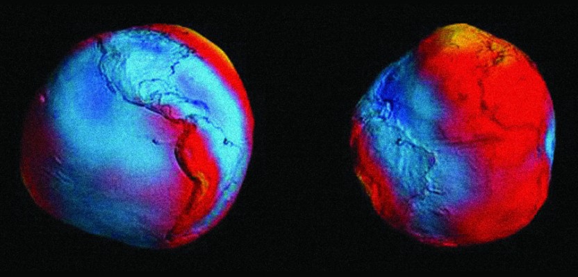
But one geodetic reference gets better with age: the Earth itself. We know more about it all the time, have much more data in “time series” spanning decades, and can measure its physical geodesy elements, like gravity, in much finer detail. So, at some point, the total model of the Earth becomes much more reliable than scattered arrays of outdated, very precise points.
Does this mean we are compromising quality and accuracy? Absolutely not. In the same way that a laser scan of an object can reveal greater detail than a few observed points connected in a modeling program, a total model of the Earth’s geodesy can be in high definition, kept up to date, and accessed in real-time for nearly any place in the country or, eventually, anywhere on the Earth.
The National Geodetic Survey plans to move (by 2022 – 2025) to a global, dynamic reference framework (one singular reference frame for horizontal and vertical). It might be a tough pill to swallow at first, but this Earth-centered geodesy lends itself better to the new ways we position, navigate, and measure masses of geo-data resolved to a geodetic reference framework on the fly.
It might take a little bit of letting go of hard-held views on the supremacy in precision and accuracy of legacy hierarchical reference frameworks, but there is richness in what the new systems have to offer that we have yet to fully explore.
Note that one of the features in this month’s issue covers the wave of satellite-based imaging and remote sensing that is often only a few key clicks away. Another’s on the multiple terrestrial-based data-capture systems employed to map the Bluestone Dam. We need to update our thinking on applied geodesy to keep up with these tools and resources.