My first order of business is to thank Dr. Dru Smith and the National Geodetic Survey (NGS) for their response to my “Are HARNs on Death Row?” article. When I wrote the piece, my objective was to increase awareness and incite action among the surveying community regarding the perpetuation of historical passive survey marks under the NSRS. I didn’t expect to also incite discussion and reaction from the NGS, but I am pleased that I did.
Dru’s summary of the Modernization of the National Spatial Reference System (NSRS), specifically how passive marks will fit into that effort, certainly put an exclamation point on the “call for action” for surveyors to observe historical passive marks and why.
As listed in Dru’s article, NGS has several efforts underway or in development in which observations on passive marks will play a critical role. The bottom line is the more modern data NGS has, the better their products will be in helping the geospatial community to make the transition from NAD83/NAVD88 to NATRF/NAPGD2022. NGS is even modernizing the processing and packaging tool to get them that essential data. They continue to listen to their user base and commit resources where they are most needed.
But one thing they can’t do is collect the data. That is on us.
Grassroots Efforts
Dru emphatically supported the suggestion that grassroots efforts need to be mounted within the surveying community to plan campaigns of critical, historical marks in the ground. These campaigns need to be planned in accordance with the criteria required for submittal to the NGS through various platforms, preferably through the OPUS Projects to IDB tool that will be the subject of Part 3 of the Blueprint for 2022. As Dru mentioned, the appropriate NGS regional geodetic advisor is available to help plan such a campaign and should be consulted early on.
One concept that has been posed in California, where each county collects fees that go into a monument preservation fund, is that this program could be leveraged to help defray some of the costs of performing a regional campaign. Although my “vision” is of surveyors coming together, perhaps through a local chapter of our professional association to donate time and equipment to the effort, could some funding be provided to cover things like fuel or to put on a “post campaign” barbecue for the participants?
Maybe there is a role in this for manufacturers and vendors of surveying equipment or other geospatial hardware and software to get involved. After all, they will need robust and accurate transformation tools in their products, which can only be as good as what NGS develops.
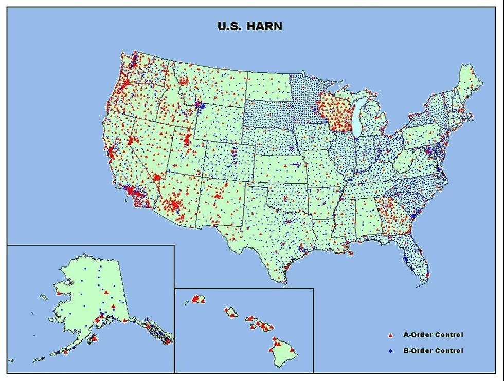
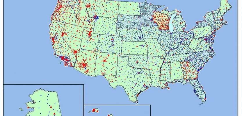
The good news is we have a little time to work on this, but the seed needs to get germinated now. I would think that, in states where CORS are sparse, the reliance on HARN marks to access the NSRS is even greater than in CORS-rich areas. But, even in CORS-rich California, where we have just over 250, daily reliance on passive marks by surveyors is still the norm.
As Dru stated, it’s not the original HARN/HPGN coordinates (that are obsolete regarding the latest realization of NAD83) that we need to preserve. It’s the mark and the NATRF2022 position thereof.
If you work in an area as dynamic as California, then you know (or better know) that even the most recent NSRS coordinates have a fairly short shelf life. We need to manage this, but unfortunately we aren’t getting the data from our efforts to the NGS.
Proof? Only ONE project performed in California since 2008 has been submitted to NGS for acceptance into the IDB, and that was in 2011. I can’t speak for other states, but that is simply, well, not enough. I am confident we can correct that over the next few years. Hopefully, the same can be said for other regions of the country where work still needs to be done.
Grab the horns and get started, folks.
And keep an eye out for the more-detailed response from Dru and NGS in the December 2017 edition of xyHt magazine. It will help us to formulate our plans.

This article appeared in xyHt‘s e-newsletter, Field Notes. We email it once a month, and it covers a variety of land surveying topics in a conversational tone. You’re welcome to subscribe to the e-newsletter here. (You’ll also receive the twice-monthly Pangaea newsletter with your subscription.)
For more articles by Scott Martin, click here.