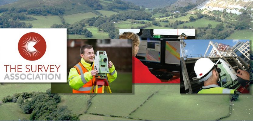
Editor’s note: Great news from the UK … a new program of apprenticeships specifically for geospatial disciplines. This program is expected to help meet challenges of meeting the demand for skilled surveyors and geospatial workers, especially in these times of rapid growth in commercial development and public infrastructure.
While apprenticeships have always played an important role in workforce development and succession planning, certain aspects of the geospatial disciplines have not fit well into traditional or legacy apprenticeship paths. This development will bring emerging and evolving geospatial elements to the fore in apprenticeship-based career paths. It will be of great interest if professional associations, industry, and education entities of other countries, like the U.S., will monitor the success of, learn from, and perhaps emulate this bold initiative.
Press release from The Survey Association (TSA UK):
Government Gives Go ahead for Geospatial Apprenticeships
The Secretary of State for Education, Damien Hinds, has given final approval for a Geospatial Technician Apprenticeship by approving the funding band, meaning that this is now ready for delivery.
The Institute for Apprenticeships has also recommended a final funding band to the Secretary of State for the Geospatial Mapping and Science Degree Apprenticeship and this will also be ready for delivery very shortly.
The Survey Association (TSA) funded the apprenticeship development work, assisted and guided by Apprenticeship Consultant, Christina Hirst.
TSA Vice President Nick Hampson commented: ‘’TSA has always been committed to encouraging more young people into the survey profession and we are delighted that our funding has helped to make Geospatial Apprenticeships a reality. TSA Member Companies made an important contribution to the Steering Group.’’

The Survey Association (TSA UK) Vice President Nick Hampson
‘’Since 2001, over 400 students have graduated from the TSA Course in Surveying at the Survey School and the Geospatial Apprenticeships are the next logical step – combining both funding and a recognized qualification.’’
Both apprenticeships were approved in September 2017 by the Institute for Apprenticeships and the employers who developed these have been awaiting these funding band approvals before delivery can start – now agreed at £9,000 for the Geospatial Technician Apprenticeship and £27,000 for the Geospatial Mapping and Science Degree Apprenticeship (the latter subject to final sign off from the Department of Education).
The approval of these apprenticeships means that geospatial employers can use their Apprenticeship Levy payments or Government’s apprenticeship funding to pay for the development of new talent for their businesses.
Antony Jenkins, Chair of the Institute for Apprenticeships said: “I’m delighted that we’ve been able to approve these standards. High quality apprenticeship standards like this help learners and employers reach their potential.
“More and more businesses of all sizes are realizing the benefits that high quality apprenticeships can offer. The Institute is putting employers in control of developing the standards they need, giving learners a basis for lasting employment and overcoming national skills gaps.”
The geospatial apprenticeships have been developed by a group of 19 employers*, led by Skanska and supported by the two relevant professional bodies, the Royal Institution of Chartered Surveyors and the Chartered Institution of Civil Engineering Surveyors (ICES). The apprenticeship development was also supported by Class of Your Own.
Lawton of Skanska, Chair of the Trailblazer Group said: “It was truly inspiring to see professional bodies, trade bodies and different sectors of industry collaborate together under the project management of Christina Hirst. The future geospatial educational requirements for the apprenticeship have been tailored by the Trailblazer Group, and I feel this is a huge educational step for our geospatial future talent.”
The Geospatial Technician apprenticeship will provide the knowledge, skills and behaviors for successful apprentices to apply to become Associate members of the Royal Institution of Chartered Surveyors or of the Chartered Institution of Civil Engineering Surveyors and successful apprentices from the Geospatial Mapping and Science Degree Apprenticeship can apply to become Members of the Royal Institution of Chartered Surveyors or the Chartered Institution of Civil Engineering Surveyors.
A number of Colleges and Universities are gearing up to provide these Apprenticeships and employers interested in supporting apprentices can find more information and the Trailblazer contact for these Apprenticeships by visiting
www.instituteforapprenticeships.org/apprenticeship-standards/geospatial-survey-technician/
for the Geospatial Technician Apprenticeship and by visiting:
www.instituteforapprenticeships.org/apprenticeship-standards/geospatial-mapping-and-science-degree/
for the Geospatial Mapping and Science Apprenticeship.
List of employers who were involved in creating these standards:
Skanska (Lead Employer), Aecom, Balfour Beatty, Severn Partnership Ltd, Maltby Land Surveys Limited, Sir Robert McAlpine, Jacobs UK Limited, Ordnance Survey, Murphy Surveys, Subscan Technology Limited, Sitechnics Limited (trading name Technics Group), Topcon (Great Britain) Limited, Korec Group, Trimble, Malcolm Hughes Land Surveyors Limited, Leica Geosystems Limited, Cat Surveys Group Limited, Morgan Sindall Group, Historic England
For further information please contact:
Christina Hirst, Geospatial Apprenticeships Trailblazer Project Manager

