Tag Archives: sfm

Harnessing Drones the Photogrammetric Way
Above: The Inspire 2 drone, using a Zenmuse X7 sensor and 16mm lens, captured this high-resolution image of County Line Road in Beavercreek, Ohio. Credit: Woolpert. Considering that UAS are just another platform to carry sensors, new mappers should embrace merging photogrammetric techniques and practices with innovations by the computer-vision community to produce scientifically sound...
Seven Standards for Delivering High-quality sUAS Imagery
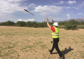
I recently attended a pre-bid conference where the customer was interested in small unmanned aircraft system (sUAS) imagery over a large enough area that mosaicking of the images was desired. What I thought would be a fairly straightforward conference turned into a knot of questions and exasperation. “How can we do this without ground control?”...