Recently I was trying to track down some of my older URISA papers and presentations. I wanted to have all (most anyway) of my professional papers in one format together. Wow what a job (still in progress) with different Mac and PC formats over the years, different operating systems, different media and different hardware—what a challenge.
Believe it or not, I still have the original Macs (1M) and an older PC (pre Windows-95) still in working order, but it was still a challenge. Some of the native word processing formats became incompatible over the years. Some of the graphic formats (Draw) also have become “unreadable” into later word processing packages. Even our picture formats have forced us to scan the slides to make them .jpgs so we can still see them. I will probably be forced to scan anything from the mid/late-1980s or earlier and hope that I can make it legible. I don’t even have hard copies of some of my earliest writings.
Lately I have been working on a major initiative for the integration of Land Records and GIS. The land records easily go back to the founding of the country so the notion of a 40-60-year title search to establish “chain of title” is commonplace. With integration, the challenge will be to establish a reliable link between our GIS data models and recorded instruments that comprise land records. Eventually we will also need to establish this linkage back over time in a reliable manner. Wow is our work cut out for us!
Think about all the older surveyor field notes (hard copy) that are still useful today. These notes are metadata for specific surveys, subdivisions, or construction projects.
How prepared are we to rescue, archive, and access our older GIS maps and closely related attribute data? Think about our CADD files, file translators too? This access will need to be in a similar format to current data so we can understand the all-important trends in the data.
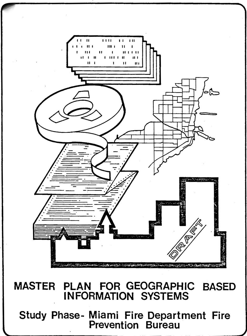
Remember 9 track tapes at various densities (1600, 6250 BPI’s); remember various hard formats for archive storage media that was very vendor-specific? Even punch cards had different formats. Burroughs had a different format than IBMs. Gee, what about EBCIDIC (IBM) and ASCII (everyone else). Wow, remember many of the software formats and neutral file (I can’t think of ‘em right now, I’ll get back to you) translators for various graphic files?
Even our GIS formats are giving us challenges. Remember ARCStorm (ARC STORage Manager).? Gees I hope the technical people converted those files when I asked them to (early 1990s). (No they didn’t.)
Well, you get the picture. People talk about disaster recovery plans; do they ever mention historical data access, retrieval, and translation? How many GIS programs allow for historical map access in terms of the current data model or access with current systems? Remember that data analysis and the understanding of trends are even more important then knowing just the current situation.
We are hearing more about common data models for GIS. Let’s make sure that we have the GIS historic time-slices (and key attribute data) available as well. We will need to rethink digital metadata in light of survey field notes to understand that our notes may refer to specific data elements, not just an entire file format, etc.
Sorry didn’t mean to ruin your day (or upcoming weekend).
Let me know what you think.