xyHt September 2020: If you don’t have a subscription to our print editions, or if someone else in the office has snaffled your copy, never fear—here’s the digital edition.
Click here, or on the cover to the right, to view the September 2020 issue of xyHt magazine.
Articles in the issue include:
(Links will turn live throughout September, as they are reposted here on our site blog!)
- Safety First: Using Small Drones to Map Unsafe Sites: Traditionally, photogrammetry based on aerial images and stereo plotting, has been the realm of large mapping companies. All of that changed a few years ago—in the developing world this gave high-quality mapping access to sectors of the economy that needed it the most but couldn’t afford it.
- Seeing the Light: Laser Accuracy with LightXY: Until recently, it was not possible to project the blueprints onto the construction surfaces—floors, walls, ceilings, and pillars—with sufficient accuracy and sharpness to guide workers in cutting, drilling, fastening, and so on. Now, however…
- Doers: James Cooper: Leaving school at 15 years old with little education wasn’t unusual in the UK before it was compulsory to complete your education and take exams. That’s the path James Cooper found himself on in 1972, but he made the best of it.
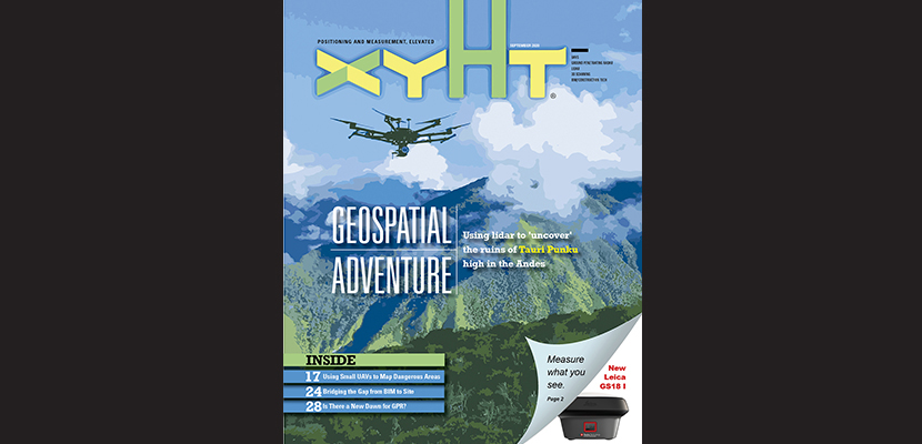
- Geospatial Adventure: Mapping Ruins from Above in Peru: Robert Graham’s adventure last April included ancient ruins, small planes landing in grass fields, machetes hacking through the jungle and a Hatfield and McCoy-like feud between neighboring villages deep in the Andes Mountains of Peru.
- The Early Days of 3D Scanning part 4: Chevron, Cyra and Trimble: Geoff Jacobs’ oral history continues: “I dove deep into evaluating the technology and its pioneering start-up company, Cyra Technologies, for a possible partnership with Trimble. Cyra’s CEO, Ben Kacyra, was likewise evaluating Trimble as a potential partner to help commercialize his technology.”
- A New Dawn for 3D Ground Penetrating Radar Arrays: In the last 40 years or so since the first commercial systems became available, GPR has been one of the most commonly used geophysical instruments for investigating the shallow subsurface. What’s next?