Tag Archives: QField
Open Source Field Capture
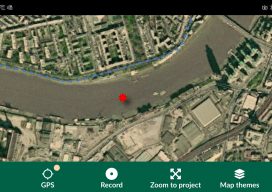
Recently I’ve been doing a bit of GIS training with environmental companies, mostly to help them make the move to open source software. You see, a few companies out there have propriety software licenses that are due to end, but the companies can’t justify the renewal when all they do is draw boundaries on a...

FOSS4G UK 2019
Open Source, Geospatial, Sun, Legos I had a wonderful three days in Edinburgh attending the most recent FOSS4G UK conference, based at Dynamic Earth. Edinburgh has never had better weather, and I was assured by the locals that this was not normal! There was a great selection of workshops and talks, covering everything from cartography,...