Tag Archives: autoCAD
Creative Uses of 3D Modeling
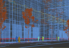
The 3D data collected with laser scanners and digital cameras can be used to create digital and physical 3D models that have myriad applications—from marketing a new building to routing first responders in an emergency.

Interview with Esri’s Chris Andrews
When I knew that I was going to the Esri User Conference, I asked a few friends at Esri to find out who could tell me what super cool stuff was coming up in the platform. One name came up over and over: Chris Andrews, senior product manager for 3D. For those who haven’t heard...

Sponsored: Big Results in a Small Space
Image above: Towill surveyor James LaBasco makes the tight descent into the pipe. They used special safety equipment and procedures throughout the project. Sponsored by Trimble A California firm uses Trimble solutions to manage a tight schedule and difficult conditions. Total stations and scanning provide precise data for rehabilitating an aging water line. As buried water...

Weekly Roundup: xyHt News Links: 3/31/17
Trimble Incorporates Galileo Support in New Version of its GNSS Infrastructure Management Software Sokkia introduces new GCX3 integrated receiver A new release of ‘Spatial Manager’ supports AutoCAD 2018 NOAA seeks new members for hydrographic advisory panel NSPS Student Competition Results NSPS Installs New Officers for 2017 Tallysman Introduces Dual Band + L-band services GNSS antenna...