
Category Archives: Civil/Transportation
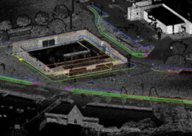
xyHt and FARO Nov. 4 Webinar on Hybrid Scanning Workflows for Roadway Surveys
xyHt will host a live webinar with FARO on Wednesday, November 4, at 1:00 p.m. ET (10:00 a.m. PT), examining how hybrid scanning workflows are changing the way surveyors capture, process and deliver geospatial data. The session, titled “Building Better with Hybrid Scanner Workflows,” is free to attend with registration. Register Here to Reserve Your...
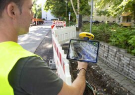
The Unity Thesis: Trimble’s Case for One Connected Asset Lifecycle
From GIS context and survey-grade positioning to asset management and field capture, Trimble is making the case for one connected asset lifecycle — a system in which precise location, operational software and shared data reinforce one another, and where the AI layered on top is valued less for novelty than for producing consistent, trustworthy results....
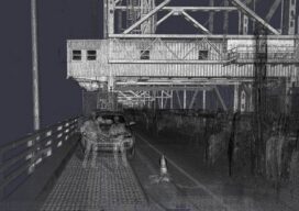
Leave No Fingerprints: Survey-Grade Accuracy in an Era of Zero Disruption
There is a version of a great survey that nobody even notices happened. No lane closures. No overnight crews in reflective vests. No targets bolted to deck surfaces. No personnel standing on live structures. No disruption to the vessels passing underneath or the aircraft taxiing overhead. The infrastructure keeps operating exactly as it did before...

Trust at 165 MPH
What Endurance Racing Teaches Us About Precision, Performance, and Continuous Improvement The sun sets low over the flat Florida horizon. As daylight fades at Daytona International Speedway, the infield comes alive in a different way. Campers glow with headlamps and LED strips. Fans drift between trailers, timing screens, and television monitors. Some wake in the...

Technology That Tracks
A singular railway system provides a linear path from construction to maintenance on the Tren Maya. Mexico’s Tren Maya (Maya Train) has been lauded as “the most important public work in the world” by former president Andrés Manuel López Obrador. Designed to boost economic and social development in the country’s southeast––a decades-long underdeveloped region––the 1,500-kilometer...
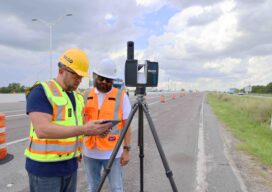
Measuring Change at Scale: FARO’s Mass-Data Vision for Digital Reality
At INTERGEO 2025 in Frankfurt, FARO®, a business of AMETEK®, Inc. wasn’t just celebrating a milestone, it was making a case for how 20 years of terrestrial laser scanning experience feeds directly into the next wave of GIS: mass data, AI-ready point clouds and digital twins that help societies manage infrastructure at scale. “All of...