


Top Stories
Get your top stories below
Topcon and GreenValley International Collaborate on Spatial Intelligence Innovations
Topcon Positioning Systems announced it has entered a strategic agreement with GreenValley International (GVI) to collaborate on technologies for surveying, ...

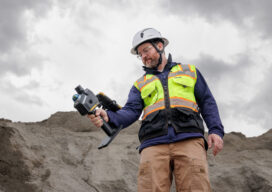
Inventing the Workflow: How Phoenix LiDAR Helped Build the Market It Now Serves
When Grayson Omans, founder and CEO of Phoenix LiDAR Systems, described the company’s transition into its next chapter following the Revolution ...
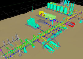
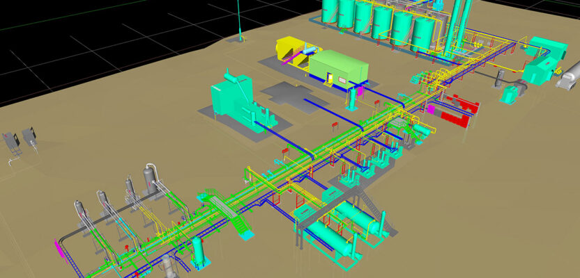
The Right Tool for the Right Layer: How Tetra Tech Rooney Is Rethinking Reality Capture
A Design Technology Manager at one of the nation's largest engineering and technical services firms explains why a mixed-capture strategy ...

The Chain That Counts
Four specialists on what actually separates a drone data product from a deliverable a surveyor will stamp Image: Messe Dusseldorf/XPONENTIAL ...

Teledyne FLIR IIS: The Camera Inside the Stack
When Mike Lee, director of product management for the company's spherical imaging business, sat down with xyHt at Geo Week ...
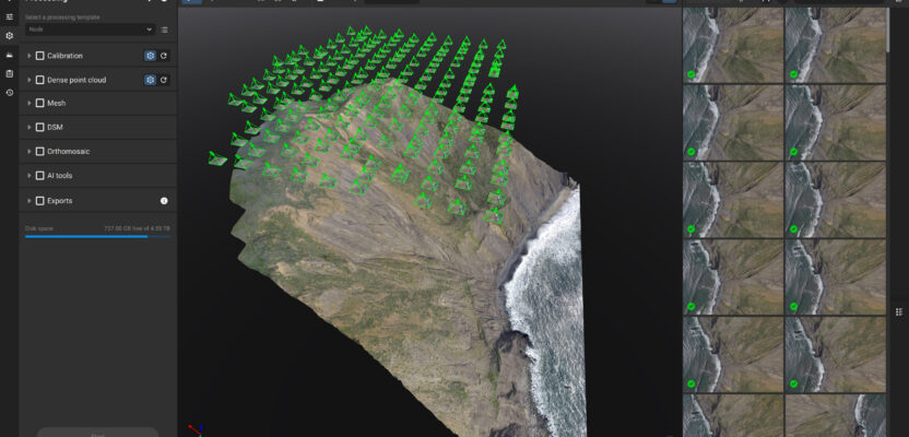
Pix4D’s Platform Moment: From Photogrammetry Engine to Enterprise Reality
Fifteen years into the UAV software revolution, Pix4D's CTO sees Gaussian splatting, AI-assisted editing, and the smartphone-as-surveying-instrument converging into something ...
The Image as Evidence
Time-stamped, location-aware imagery has quietly crossed a threshold from documentation to trusted record. The geospatial profession is now in the ...

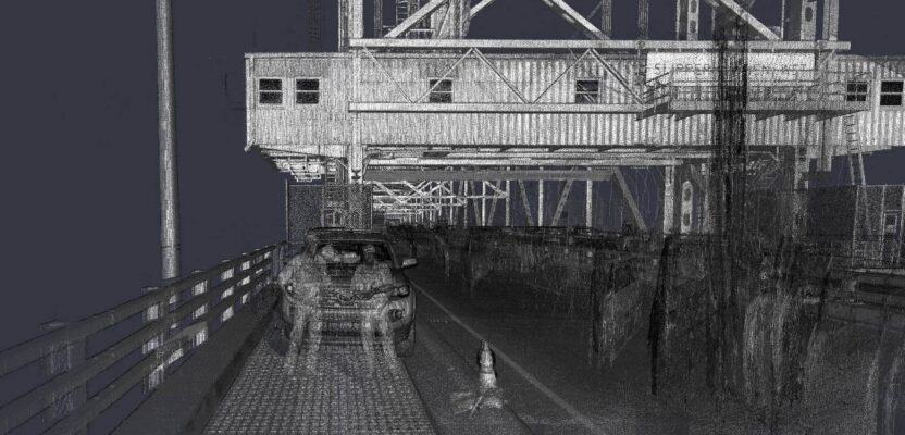
Leave No Fingerprints: Survey-Grade Accuracy in an Era of Zero Disruption
There is a version of a great survey that nobody even notices happened. A colorized LiDAR point cloud of the ...

The Private Geospatial Firm as Data Steward
The MAPPS community sits at the center of a transition most of its clients haven’t fully named yet. The firms ...
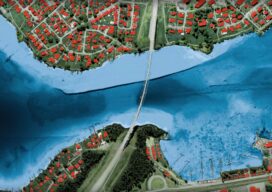
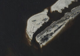
Seeing Through the Water: Inside Leica’s CoastalMapper
The new four-channel bathymetric sensor redefines what airborne hydrographic surveying can cover — and how fast Image: Leica Geosystems/Hexagon Airborne ...

The Duct Tape Principle
The geospatial industry has never been short on capability. That said, industry leaders have learned to look beyond the technology, ...

Worlds Colliding: Sensor Fusion, Platform Modularity, and the New Architecture of Geospatial Data Collection
At Geo Week 2026 in Denver, one of the industry's most experienced voices in multi-sensor positioning argues that the real ...