Tag Archives: farming
Satellite Signals Steer Farmers Straight
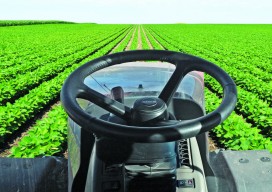
Precision agriculture combines GPS, remote sensing, and GIS to capture large amounts of georeferenced data on spatial variations in soil types, moisture content, nutrient availability, and crop yields and then create and follow prescription maps. Until recently, it was difficult for growers to correlate soil and crop information with production techniques, so they generally treated...