Tag Archives: primary school
GIS in K-12
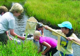
Above: Middle school students collect macroinvertebrates in Rocky Mountain National Park. The data will be mapped and analyzed using a GIS. Credit: Joseph Kerski. Where did you first learn about GIS? Was it in a course at a university or a community college? Were you an undergraduate or graduate student? Was it at a conference,...