
Category Archives: Enviro/Ag
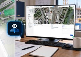
Topcon Releases Advanced Version of Delta Watch, Now Powered by GEOvis
Topcon Positioning Systems announces Delta Watch powered by GEOvis, a cloud-based workflow platform that brings advanced visualization, reporting, alarms, project administration, stakeholder communication, and geodetic network adjustment into the Delta Solutions deformation monitoring system. Developed with Amberg Infra 7D and based on GEOvis technology, Delta Watch integrates automated and manually collected data from total stations,...
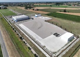
Field Report From Concordia: Inside Topcon’s PNT Field of Dreams
A first-person visit to Topcon’s Concordia Training Center near Modena, Italy, reveals a purpose-built center of excellence where place, precision and trust come together. Near Modena, in northern Italy’s Emilia-Romagna region, it is impossible to separate technology from place. This is Italy’s high-performance automotive heartland, home to Ferrari, Lamborghini, Maserati, Bugatti and Pagani — some...
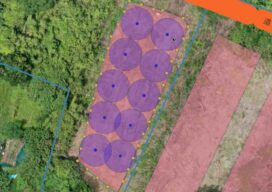
GEO-MEASURE: Bringing Precision to the Ground
GEO-MEASURE is a compact RTK receiver, but its significance may lie less in what it replaces than in what it enables. From a professional surveyor’s control network to a software engineer’s avocado farm in Japan, the device illustrates how lower-cost, easier-to-use positioning tools are narrowing the distance between the physical world and the digital systems...

Esri User Conference 2026: What the Sessions Add Up To
More than fifteen thousand people filled the San Diego Convention Center for Esri’s 46th annual User Conference this year, with roughly that many more watching by livestream from 117 countries. Taken session by session, the program is a wide survey of a mapping platform still expanding in every direction. Taken together, it resolves into a...
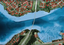
Seeing Through the Water: Inside Leica’s CoastalMapper
The new four-channel bathymetric sensor redefines what airborne hydrographic surveying can cover — and how fast Airborne bathymetric lidar has always been a physics argument. The physics are largely fixed: green laser light at 532 nanometers penetrates water in ways that infrared does not, but the water column itself attenuates the signal, and the degree...
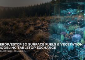
Why 3D Fuels Modeling Is Now a Geospatial Problem
As wildfire planning demands better inputs, the challenge is shifting from data collection alone to how vegetation and surface fuels are measured, classified, and turned into model-ready 3D information. Wildfire is forcing a shift in geospatial thinking. High-resolution capture is no longer the finish line. The harder question is whether vegetation and surface-fuels data can...