
Blog
Michelle Japitana
Instructor and Concurrent Chairman, Engineering Sciences Department, Carga State University, Philippines Testimonials for Michelle Japitana were remarkable. (This year we received a record number of nominations from the Philippines, and we wish we could honor all the fine candidates.) Michelle’s nominators noted that her strength in the geospatial community is her research capabilities in the fields...
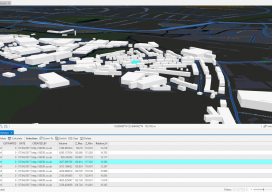
Minimum and Maximum Z Values in ArcGIS Pro
In ArcGIS Pro, why are my minimum and maximum Z values wrong, and how do I fix it? Until recently, this isn’t the kind of question you would expect a GIS user to ask. Of late there have been many innovations in the geospatial software world, and the GIS user is now having to come...

Weekly xyHt News Links: 1/26/18
Teledyne Gavia has just announced the release of the iXblue Phins Compact C3 module for its Gavia Offshore Surveyor AUV Applanix Introduces its Autonomy Development Platform for Accelerating Research, Development, and Production of Autonomous Vehicles Topcon 2018 Technology Roadshow kicks off end-user training tour in multi-day stops across North America Topcon announces new manual total...
Nicolette Beggache
Technical Support Engineer, Leica Geosystems United Kingdom Geospatial magic springs from experience, education, and training, but also from tools— hardware and software. While the processes and workflows are being streamlined and developed for ease of use, this also means that when users encounter conundrums in seeking to drive their tools to greater heights or in...

Paul Georgie
Founder and Principal Technologist, Geo.Geo, United Kingdom This geospatial visionary works at the intersection of GIS and smart cities, but Paul Georgie considers himself to be a lifelong geographer. His background is in international development, and at Geo.Geo the main focus is emergency and disaster response. Geo.Geo lowers the barriers of access for governments, organizations, and...
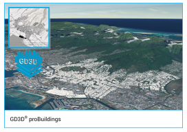
GD3D® Signs Innovative Data Agreement with CyberCity3D™ ahead of ArcGIS Marketplace Launch
(Cumbria, UK) January 23, 2018: GD3D® Signs Innovative Data Agreement with CyberCity3D™ ahead of ArcGIS Marketplace Launch PRESS RELEASE: GD3D®, the geospatial arm of Garsdale Design, is a leading 3D GIS consultancy based in Cumbria, United Kingdom. Today an agreement has been signed with CyberCity 3D Incorporated, a California 3D geospatial content company, to resell premium...
Advertisement