All posts by Juan B. Plaza

It’s a Small (Sensor) World
The fascinating emerging world of geophysical and geological exploration with drones For the last 10 years we have seen more and more applications adopting uncrewed aircraft or drones and adding them to their workflows to expand businesses and offer more versatility to their customers. But like in every other new technology, adoption is not uniform,...

Rebuilding in Baltimore
Surveyors and geospatial professionals will play a key role in rebuilding Baltimore’s Francis Scott Key Bridge

Saving Alcatraz (Digitally)
The infamous island is under attack by climate change, rising sea levels, and old age. Can scanning it from the sky and on the ground preserve it? When the first functional photogrammetry uncrewed aviation vehicles (UAVs) became mainstream technology around 2013, geodesists and land surveyors around the world adopted these flying wonders as an innovative...
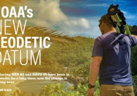
NOAA’s New Geodetic Datum
Replacing NAD 83 and NAVD 88 have been in the works for a long time; now the change is getting near

Behave Like Aviators
The importance of rules and conduct when flying small drones for mapping

What GIS (knowledge) can do for AI?
Part 3 By Juan B. Plaza and Giulio Maffini Now that we have explored what AI can do for GIS in the first two parts of this series, let’s embark in the more complex task of exploring what a GIS-empowered AI will look like. First, let us clarify that it is our belief that it...