
Blog

Call for Abstracts for 2015 GIS in Action!
Mark your calendars for May 4-6, 2015 and join us in Vancouver, WA at the Hilton Vancouver Hotel and Conference Center for the 2015 GIS in Action conference. This year’s conference is jointly sponsored by the Oregon-Southwest Washington Chapter of URISA (ORURISA), Washington State Chapter of URISA (WAURISA), and the Columbia River chapter of ASPRS...
Arctic Quests
Multiple agencies and technologies merge to map a historic region of the Canadian Arctic. Adapted from the academic paper, “Arctic Charting and Mapping Pilot Project 2: Sharing Modern Technologies and Resources towards a Common Goal”, by Andrew Leyzack and summarized by Steven Keesee, with a history sidebar by Jeff Salmon.In April 2011, multiple organizations in...
Going Smaller to Grow Bigger
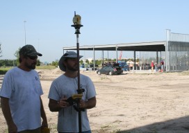
Editor’s note: Some of the more significant changes in workflows and data management in surveying field and office operations have come in recent years: a move to mobile, robotics, and cloud-enabled software suites. But, how has implementation played out? We offer the following case study of a forward-thinking surveying and mapping firm that has implemented...
The New Spacescape
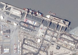
Small satellites are changing who dominates the field of satellite remote sensing. Move over military and government policy and regulation. Make way for private companies and even the public. There are big changes afoot in the satellite remote-sensing field: improved technology as well as regulatory shifts enabling the application of this technology (see “New Markets for Satellite...

Aerial Mapping
Above: Fusion of data from multiple sensors is becoming a common request from geospatial users. Here, a 10cm RGB image was fused with a classified lidar point cloud that was collected at 25 ppsm. The resultant data provides users with an enhanced ability to support a wider array of applications than each dataset used discretely. New...

Transformation and Change: Interview with Trimble CEO and President Steve Berglund
Once upon a time there was this company that made GPS boxes, and then … Yes, there have been changes at Trimble. The changes could be expressed in terms of the size of the company, market performance, types of products, and expanding markets; these are visible to core end-user constituencies such as surveying. There has...
Advertisement