
Blog

Trust at 165 MPH
What Endurance Racing Teaches Us About Precision, Performance, and Continuous Improvement The sun sets low over the flat Florida horizon. As daylight fades at Daytona International Speedway, the infield comes alive in a different way. Campers glow with headlamps and LED strips. Fans drift between trailers, timing screens, and television monitors. Some wake in the...
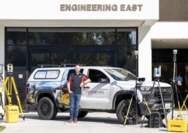
Building the Next Generation of Geomatics Professionals
How Fresno State, Trimble, and CSDS Are Closing the Workforce and Technology Gap On January 22–23, 2026, Fresno State hosted the 65th Annual Geomatics Engineering Conference at the Lynda and Stewart Resnick Student Union, bringing together students, educators, surveyors, engineers, and technology providers for two days of technical sessions, vendor exhibits, and professional networking. The conference, which has been...

Technology That Tracks
A singular railway system provides a linear path from construction to maintenance on the Tren Maya. Mexico’s Tren Maya (Maya Train) has been lauded as “the most important public work in the world” by former president Andrés Manuel López Obrador. Designed to boost economic and social development in the country’s southeast––a decades-long underdeveloped region––the 1,500-kilometer...

Beyond the Science Project: Productizing the Future of Sensor Fusion
XYHT – Q&A with Peter Mardaleichvili and Lukas Meier, Fixposition When Fixposition showed its latest xFusion™ solutions at Equip Expo, Agritechnica, and INTERGEO, one theme came through clearly from OEMs and integrators: they are done with “science project” stacks. They want fusion that is robust, repeatable, and ready to ship. Fixposition says that is exactly what they are building: a productized...
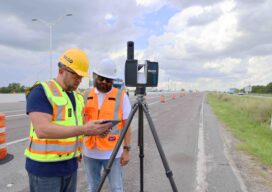
Measuring Change at Scale: FARO’s Mass-Data Vision for Digital Reality
At INTERGEO 2025 in Frankfurt, FARO®, a business of AMETEK®, Inc. wasn’t just celebrating a milestone, it was making a case for how 20 years of terrestrial laser scanning experience feeds directly into the next wave of GIS: mass data, AI-ready point clouds and digital twins that help societies manage infrastructure at scale. “All of...
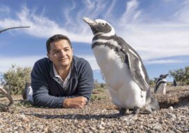
Penguin Conservationists Use Maps and Satellite Images to Win Landmark Court Case
Penguins split their lives between land and sea, adapting with tenacity to the growing threats they face in both worlds. When those threats become too great, the people working to protect penguins are equally tenacious. Such was the case following a deeply disturbing act of environmental destruction along Argentina’s central coast. A local rancher bulldozed...
Advertisement