

The MAPPS community sits at the center of a transition most of its clients haven’t fully named yet. The firms that articulate it first will own the conversation.
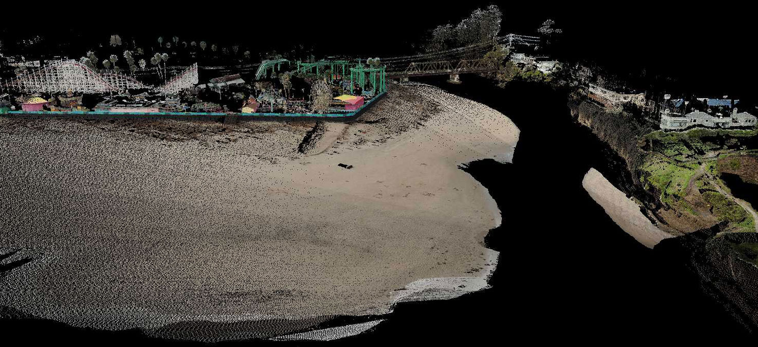
Photo/visualization: Joshua Logan, USGS Pacific Coastal and Marine Science Center.
For most of its history, the private geospatial services firm has been defined by what it delivers: orthophotos, LiDAR point clouds, photogrammetric products, hydrographic surveys, corridor maps. The deliverable was the relationship. The project ended, the files transferred, and the firm moved on to the next acquisition season.
That model is not disappearing. But something is changing around it, and the firms that recognize it earliest will be positioned differently than the ones that don’t.
The change is this: the data is outliving the project.
From Deliverable to Operating Record
A city that commissioned aerial imagery and LiDAR three years ago for a capital planning project is now being asked to use that same dataset to feed a digital twin, support an AI-driven asset extraction workflow, support insurance claims after a storm, or respond to a FOIA request about infrastructure conditions. The orthophoto that was a project deliverable is now an operational record. The point cloud that documented a construction site is now the baseline against which change is being measured.
This was not the expectation when the work was specified, contracted, and delivered. The acquisition parameters, the ground control strategy, the processing decisions, the accuracy class — all of it was calibrated to a project scope that has since expanded far beyond its original boundaries. And the only party that fully understands what was done, why it was done that way, and what the data can and cannot support is the firm that flew it.
That firm is usually long gone.

The Authority Nobody Is Claiming
Here is the structural opportunity: private geospatial firms are sitting on a form of authority that nobody else in the data chain possesses. GIS managers inherit data they didn’t collect. Asset owners query layers they didn’t specify. AI platforms extract features from imagery they didn’t commission. Digital twin vendors integrate point clouds they didn’t process. At every step downstream from acquisition, the people making decisions from geospatial data are working without the institutional knowledge of how that data was made.
The firm that made it knows things nobody else knows. What the weather was like during acquisition. Whether the ground control network was adequate for the project scope or stretched thin at the edges. Which processing decisions introduced systematic offsets. Where the confidence is high and where it isn’t. What the data was designed to support and what it was never meant to do.
That knowledge is currently walking out the door at project closeout. It lives in project managers’ heads, in internal QC reports that never make it into deliverable packages, in processing logs that clients don’t know to ask for. The profession has not yet developed a systematic way to package and transfer it — and as a result, the downstream users of geospatial data are making decisions in a knowledge vacuum that the acquiring firm could fill.
The AI feature extraction problem makes this concrete. Automated tools are now being deployed on legacy datasets to extract building footprints, road edges, vegetation canopy, and infrastructure assets at scale. What those tools cannot assess — and what the acquiring firm could document — is where the source data’s collection conditions compromise the model’s confidence. Imagery acquired under marginal weather, point clouds with gaps at acquisition boundaries, orthophotos with systematic offsets in specific zones: all of it produces extraction errors that appear authoritative because nobody in the downstream workflow knows to flag them. The problem is not the AI. It is the absence of the documentation that would tell the AI — and the people acting on its outputs — where to trust the data and where to verify independently.

What Stewardship Actually Means
Data stewardship is not a marketing phrase. It is a specific set of practices that bridge the gap between acquisition and long-term use.
Consider a municipal client whose LiDAR dataset, collected for a capital planning project, is now three years old and being integrated into a digital twin platform. The integration team knows the data is aging. What they don’t know is whether the ground control network from the original acquisition is adequate for the coordinate precision the twin requires, or whether specific zones were acquired under conditions that introduced systematic offsets. The acquiring firm knows both answers. That knowledge, packaged and transferred as part of a stewardship relationship, is the difference between a digital twin that drifts from physical reality and one that stays calibrated.
Stewardship means delivering not just files but documentation: accuracy reports that go beyond a single RMSE number, processing logs that describe the decisions made and why, metadata that captures collection conditions, datum and coordinate system information that survives format migration, and confidence attribution that tells downstream users where to trust the data and where to verify it independently.
It means maintaining a relationship with the data after delivery. The firms best positioned to offer this are the ones that treat project closeout as the beginning of a data lifecycle rather than the end of a contract. That might mean annual check-ins with long-term clients to flag when datasets are approaching the edge of their useful life. It might mean flagging when a dataset is being applied to a use case it wasn’t designed to support. It might mean offering update assessments when regulatory or technical standards change.
It means being willing to say what the data cannot do. This is counterintuitive for firms whose commercial interest is in expanding scope, but it is the foundation of the authority that stewardship requires. A firm that tells a client “this dataset will not support the accuracy class your proposed use requires” is building a different kind of relationship than a firm that stays quiet and collects the next acquisition contract when the problem surfaces.

The MAPPS Moment
This conversation is especially timely for the MAPPS community because its members are the firms best positioned to make the transition — and the most at risk of being bypassed if they don’t.
The pressure is coming from multiple directions simultaneously. GIS platforms are becoming more operational, which means the quality of the data feeding them is more consequential than it was when the data sat in a static layer. AI feature extraction tools are being deployed on datasets that were never validated for that use, producing outputs that agencies and infrastructure owners are beginning to act on. Digital twin programs are discovering that their models drift from physical reality faster than their refresh budgets allow. And a growing set of regulatory frameworks is demanding geospatial evidence that can withstand independent scrutiny.
The regulatory pressure deserves particular attention. A January 2026 peer-reviewed study examining EU sustainability compliance frameworks documents that geospatial data and workflows are shifting from optional “supporting evidence” to a core component of regulated reporting and due-diligence processes — specifically naming the EU Deforestation Regulation, the Corporate Sustainability Reporting Directive, and related instruments. Under EUDR, companies sourcing commodities must maintain documented geolocation data, chain-of-custody records, and archived geospatial evidence for mandatory five-year periods. The pattern is consistent across carbon MRV frameworks as well: proof of provenance, not just the data itself, is what regulators are requiring. Private geospatial firms that develop the documentation practices to support these requirements will be positioned for a growing segment of the compliance services market.
In each case, the missing element is the same: documented confidence in how the data was made. The party best positioned to provide that documentation is the firm that did the acquisition. The firms that figure out how to deliver it consistently, price it appropriately, and communicate its value to clients who don’t yet know they need it will be in a different competitive position than those that continue to define themselves purely by what they can acquire and process.
The aircraft is not outside the future of GIS. Neither is the firm that flew it — if it shows up as something more than a data vendor.