Category Archives: Aerial/UAS
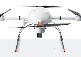
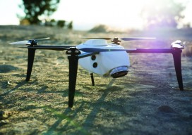
Cool Gear at the Commercial UAV Expo: Part 1
The third Commercial UAV Expo brought together 2,000 professionals from 53 countries and every U.S. state, representing a wide array of industries, all in sunny Las Vegas where the October weather was quite agreeable. The event featured four keynotes, three plenaries, dozens of industry-specific presentations, offsite flying demonstrations, numerous networking events, and more than 150...
UAS 2.0
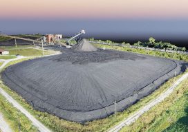
An upgrade to its UAV capability yields impressive results for a Missouri engineering firm performing UAV inspections. It’s been said that while good companies are satisfied with being good, great companies are continually focused on getting better. With that adage, it’s easy to see why Anderson Engineering (AE) has more than six decades of experience...
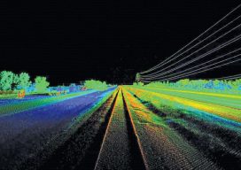
Unmanned Lidar in the Air
A discourse on UAV lidar from the perspectives of a vendor and a user. IS A UAV LIDAR SYSTEM REALISTIC? While UAV lidar is definitely a breakthrough for vendors and users alike, is it enough? Can UAV photogrammetry deliver what is really needed by the surveyor and engineer? Indeed it can, but only in part....
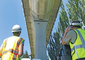
Organic Integration of UAS in the Pacific Northwest
A mapping and design firm in the Pacific Northwest implements UAS in diverse urban and rural environments. Editor’s Note: Integration (or not) of UAS by geospatial firms runs the gamut from outright dismissal of the technology, to firms taking a wait-and-see stance, to companies subcontracting out UAS services. Then there are those, like the mapping and...
Drone Coding: Fun, Future, and Fundamentals
For Surveying’s Next Generation Attracting the next generation of surveyors is a perennial topic in the geospatial profession. I’d like to suggest adding K-12 UAS coding programs to the list of outreach efforts. The sooner students become interested in the geospatial field, the greater the success of attracting them to the profession. It is widely...
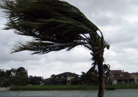
Geospatial to the Rescue
In view of recent weather-related events, we’ll take a quick detour from our series on AR (augmented reality) to cover RR (real reality): the catastrophic 2017 hurricane and wildfire season. The Caribbean islands, Florida, Louisiana, and Texas are reeling from the effects of hurricanes Harvey and Irma. As of this writing, Jose is only brushing...