Category Archives: BIM

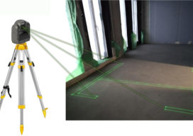
Seeing the Light: Laser Accuracy with LightXY
On a construction site, cement and concrete finishers, carpenters, framers, electricians, plumbers, flooring installers, and other trades people spend a lot of time taking measurements and interpreting blueprints before they can even start any of the specialized tasks they are trained and paid to perform. Until recently, it was not possible to project the blueprints...

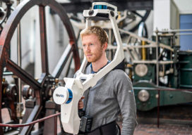
NavVis VLX: A New Take on Mobile Mapping
The NavVis VLX, the first-of-its-kind wearable mapping system designed for hands-free reality capture, including survey-grade point clouds, was introduced in May and is already having an impact in the field. The VLX captures high-quality data in even the most complex built environments. The unprecedented data quality delivered by a compact, versatile device sets a new...

xyHt Weekly News Links 7/17/2020
*Click here to visit xyHt’s Virtual Trade Show* Congress Moves Against FCC’s Ligado Decision Bad Elf Flex™ Adopts the Hemisphere Phantom™ Module Honeywell Refines Navigation Revealing the World from Satellites Common Ground Alliance Launches New Expo

Topcon Solutions Store Leads the Way in Gearing Up
Moves to modernize surveying, engineering, and construction were already well under way—recent events have simply accelerated the process. Many, such as Topcon’s Solutions Store, have used the recent slowdown to adopt new models for workflows, collaboration, distributorships, training, and support to be ready to meet future demand. As the pause button is being released, and...

BIM It Up and Fly Them In, Mactan-Cebu Airport!
Designed using building information modeling, Mactan-Cebu International Airport is a tribute not only to technology but also team collaboration and creativity. Featured image: Photomontage (by Marcel Lam) shows the BIM model combined with an actual photo of the Mactan-Cebu International Airport’s roof. Everything about the design of the newly built Terminal 2 at the Mactan-Cebu...

Another Curveball: Coronavirus and Geospatial
Out of the blue, we’re facing another curveball. The current global concern (COVID-19, aka the Coronavirus) was generally not anticipated, and the situation changes daily. It was hoped that, by the time this is published, the situation would have calmed dramatically—but sadly it has taken a turn for the worse. Thus far disruptions have only...
