
Category Archives: BIM

xyHt Weekly News Recap: 07/16/2021
Esri Releases New Predictive 2050 Global Land Cover Map Esri Awards GIS Users for Innovations Velodyne Lidar Partners with NVIDIA Metropolis for Infrastructure Solutions Zoom75 & Zoom 95 – The New GeoMax Robotic Total Stations Lidar Helps Reveal Radiation Hot Spots at Chernobyl GIS-Pro 2021: October 3-6, 2021 Setting the Record Straight: The RETAIN Act...
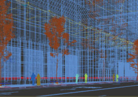
Creative Uses of 3D Modeling
The 3D data collected with laser scanners and digital cameras can be used to create digital and physical 3D models that have myriad applications—from marketing a new building to routing first responders in an emergency.
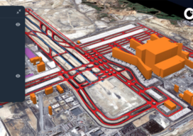
GIS Implementation in Construction: Techniques and Benefits
With Aspectum mapping software, construction companies can model objects down to the finest details and monitor project development from start to finish.
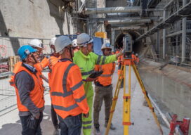
Grand Surveying in Grand Paris
Advanced solutions for tunneling and monitoring keep Europe’s largest transportation expansion project on track All photos taken prior to introduction of COVID-19 distancing guidelines Paris is grand—and getting much grander. One of the most visited—and loved—cities in the world, The City of Light began the Grand Paris initiative in 2007 with the goal of keeping...
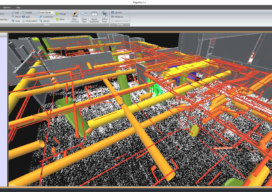
The Scan-to-BIM Process: Capture and Extraction
AECOM professionals adopt an integrated approach to best leverage the most current digital technology tools. With many aspects of the nation’s infrastructure reaching the end of its as-designed life, and with the purchasing power of construction dollars continuing to be stretched, developing systematic processes for determining the most cost-effective infrastructure investment strategy is critical. “Scan-to-BIM”...

Update: GeoBIM and 3D GeoInfo Conference
EuroSDR is a not-for-profit organization linking national mapping and cadastral agencies with research institutes and universities in Europe for the purpose of applied research in spatial data provision, management and delivery. Over the last few years they have ran several projects, one of particular interest being in the use of BIM (building information modeling) and geo-data in...