Category Archives: BIM
Walden Environmental Engineering Captures New Insights and Revenue
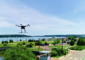
Emesent Hovermap was used by Harkin Aerial to conduct internal and external scans of assets for Walden Environmental Engineering. This resulted in simplified and streamlined projects with improved efficiency.
Remote Sensing – It’s About the Safety
If you follow trends in industry that serve our profession, it is impossible to not see articles and advertisements about the use of remote sensing technology. Unmanned Aerial Systems (UAS/drones) tend to be the leaders of the pack for many reasons. However, there are several others, from stationary and mobile terrestrial lidar scanners and cameras,...
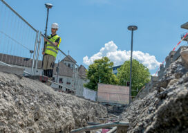
GNSS Innovation Keeps Utility Surveyors Safer
The ability to capture accurate points from a distance with images provides a significant leap in safety and efficiency for subsurface utility engineering.
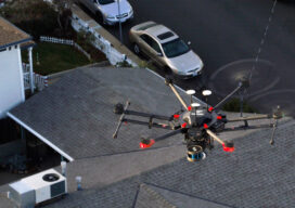
The Center for the Arts in Nevada County, California Optimizes Operations
Mobile LiDAR scanner Hovermap was used to conduct an internal and external scan of the facility in just over an hour to capture accurate as-builts and CAD drawings.

xyHt Weekly News Recap: 07/16/2021
Esri Releases New Predictive 2050 Global Land Cover Map Esri Awards GIS Users for Innovations Velodyne Lidar Partners with NVIDIA Metropolis for Infrastructure Solutions Zoom75 & Zoom 95 – The New GeoMax Robotic Total Stations Lidar Helps Reveal Radiation Hot Spots at Chernobyl GIS-Pro 2021: October 3-6, 2021 Setting the Record Straight: The RETAIN Act...
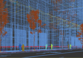
Creative Uses of 3D Modeling
The 3D data collected with laser scanners and digital cameras can be used to create digital and physical 3D models that have myriad applications—from marketing a new building to routing first responders in an emergency.