
Category Archives: Magazine

Stonex: The Quiet Cost of Complexity
For more than two decades, the geospatial and construction technology markets have advanced by adding capability. Each generation of GNSS receivers, robotic total stations, scanners, and machine control systems has delivered real gains in accuracy, speed, and automation. But those gains have often come with a parallel cost that is harder to quantify: complexity. Licensing...
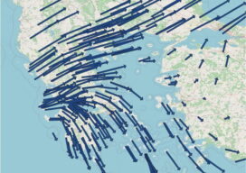
Bridging PPP and a Legacy National Datum: A Velocity-Driven Transformation to HGRS1987
D. Ampatzidis, A. Tsimerikas, G. Moschopoulos, K. Balidakis and A. Mouratidis EDITORIAL DISCLOSURE — The article is an editorial adaptation and professional-magazine presentation of research already published by the authors in the peer-reviewed Bulletin of Geophysics and Oceanography: Ampatzidis, D., Tsimerikas, A., Moschopoulos, G., Balidakis, K. and Mouratidis, A. (2025), “The alignment of PPP-derived coordinates...
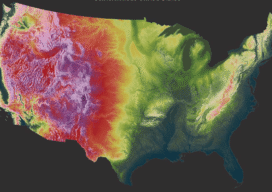
The Billion-Dollar Basemap
After two decades and a collaboration commonly valued at around a billion dollars, the United States has been mapped wall to wall in high-resolution lidar. The harder question begins now — what it costs to keep a national elevation model current, and who documents it well enough to trust. XYHT STAFF In a packed auditorium...

Charting the Caribbean’s Future: How Lidar Data Is Transforming Climate Resilience Across the Region
By Dr. Mark Bynoe and Sven Cowan When a major storm sweeps across the Caribbean, coastlines can change in an instant. Beaches vanish. Cliffs shear away. Floodwaters push inland into neighborhoods and tourist meccas once considered safe. Climate change poses significant problems in the region. Damaging floods and storms have more than tripled since the early 2000s,...
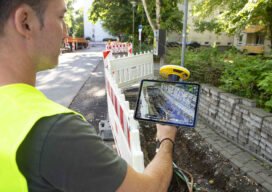
The Unity Thesis: Trimble’s Case for One Connected Asset Lifecycle
From GIS context and survey-grade positioning to asset management and field capture, Trimble is making the case for one connected asset lifecycle — a system in which precise location, operational software and shared data reinforce one another, and where the AI layered on top is valued less for novelty than for producing consistent, trustworthy results....

Teledyne FLIR IIS: The Camera Inside the Stack
When Mike Lee, director of product management for the company’s spherical imaging business, sat down with xyHt at Geo Week 2026, he was not pitching a new workflow platform or a digital twin ecosystem. He was describing a company whose job is to provide a visual sensing layer that other companies’ systems depend on —...