Tag Archives: Lighthouse Land Surveying
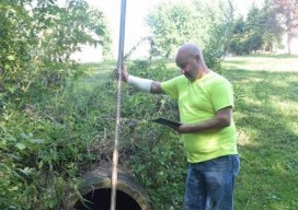
App Happy: Streaming Utility Surveys
A new app standardizes workflow by turning a list of surveyed points into underground 3D utility maps. Imagine that you’re surveying an underground waterline in your city. You use your survey devices to record the locations of the pipe system, including the manholes, the water valves, and their depths. Using your tablet on-site, you’re able...