Tag Archives: mapping

xyHt Weekly News Recap: 10/27/2023
NSPS and AAGS Scholarships Application Is Now Available Geo Week Projects 200+ Top-Tier Exhibitors from Across the Globe Bees360 Enhances Drone Airspace Management with Aloft Leica Geosystems brings Leica BLK2GO PULSE to market for intuitive mobile laser scanning Trimble Opens Labs at OSU to Advance Next Generation of Agriculture and Construction Talent Hexagon’s Geosystems Division...

xyHt Weekly News Recap: 10/20/2023
Trimble Donates $100,000 to World Food Program USA’s Erase Children’s Hunger Campaign Impressions of INTERGEO 2023 Hexagon expands TerraStar-X GNSS correction service to South Korea Geo Week 2024: Where Innovation and Transformation Converge Alfred State wins NCEES Surveying Education Award Trimble Opens Two Technology Labs at The Ohio State University to Advance the Next Generation...

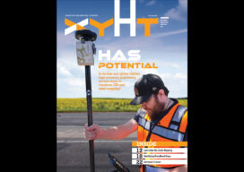
xyHt Digital Magazine: October 2023
xyHt magazine’s October issue goes inside the GNSS rover to see exactly what’s in it and reveal how the technology works its magic. As always, if you don’t have a subscription to our print edition, or if someone else in the office has snaffled your copy, don’t fret, here is the digital edition. Click here or...

Nominations are open for xyHt’s “24 Young Professionals to watch in ’24.”
Nominations are open for xyHt’s “24 Young Professionals to watch in ’24.” If you’d like to nominate a 20-something (maybe young 30’s), Click HERE to fill out the short form and we’ll take care of the rest. Recognition for our top 24 and honorable mentions will be in the December/January edition of xyHt. Click Here...

xyHt Digital Magazine: September 2023
xyHt magazine’s September issue goes inside the GNSS rover to see exactly what’s in it and reveal how the technology works its magic. As always, if you don’t have a subscription to our print edition, or if someone else in the office has snaffled your copy, don’t fret, here is the digital edition. Click here or...

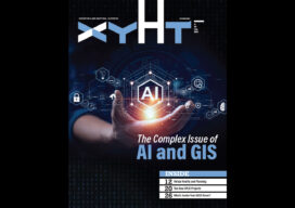
xyHt Digital Magazine: July/August 2023
xyHt magazine’s combined July/August issue focuses on geographic information systems and and how the science has made its way into many aspects of our existence—how it is helping now and how it will help in the future. As always, if you don’t have a subscription to our print edition, or if someone else in the...
