
Blog

Taking Flight
As drones begin to fill our airspace, Switzerland is figuring out how the skies will remain friendly
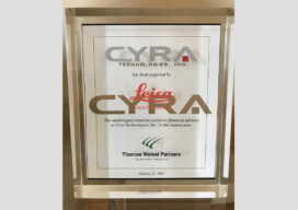
The Early Days of 3D Laser Scanning: Part 11
In 1998 I joined a small start-up, Cyra Technologies, which was pioneering 3D laser scanning technology. I had a senior product marketing role, reporting to the CEO.
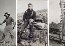
These Boots Were Made for Walking …
It sure seems like there is a lot of talk about feet these days. United States Survey Feet, International Feet, and 6 feet, but nobody is talking about the most important feet. As surveyors, we like to talk about our equipment and tools. Whether it be the old school steel tapes and top mount EDMs...

xyHt Weekly News Recap: 05/14/2021
OCG Appoints 3 New Members to Board of Directors Bluesky, Lighthouse Surveying Map Contaminated Massachusetts Site Esri, IBM Team Up to Tackle Climate Change Small Scanner for Big Success Woolpert Sets Precedent for UAS at Airports Scotland Uses GIS to Boost Broadband in Rural Areas
xyHt Weekly News Recap: 05/07/2021
Intermap Powers Analytics for Climate Change ConExpo-Con/AGG Unveils New Logo, Brand Identity Bentley Systems Acquires sense metrics and Vista Data Vision Woolpert to Provide Topographic Map of Nigeria TCarta Delivers Satellite Bathymetry for U.S. Coastal Mapping Pilot Deuce Drone Gets FAA Approval for Operations Over People Roadway Asset Mapping Using Any GPS Camera Belgian Farmer...
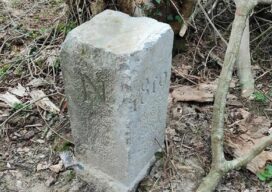
Farmer Accidentally Changes France-Belgium Border
Usually one country moving into another country’s territory is a huge geopolitical deal, often followed by military action. But when a Belgium farmer accidentally moved his country’s border into French territory, everyone just had a good laugh about it. The farmer was apparently annoyed by the boundary stone as he plowed his field, so he...
Advertisement