Surveyor business models changing in the BVLOS era
Over the past few months, the Federal Aviation Administration (FAA), working with the drone industry, academia, and general aviation membership organizations such as AOPA (www.aopa.org) and NBAA (www.nbaa.org), has been able to advance the cause of uncrewed flights beyond visual line of sight of the operator (BVLOS).
Why is this relevant to our geospatial industry? Very simply, the introduction of Part 107 by the FAA in 2016 was a way of allowing uncrewed aircraft into the national airspace (NAS) but with restrictions on weight and constraining flights to always being conducted within line of sight of the pilot or the operator. Now, with the potential expansion of these flights to be BVLOS, the geospatial industry must be ready for the enormous impact that this change will have in our current processes.
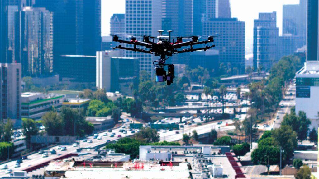
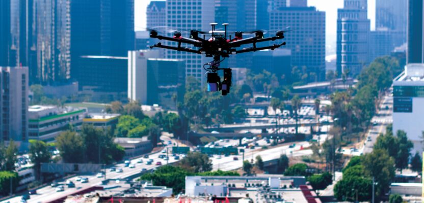
A drone flying near downtown Los Angeles may be an indication of things to come with changing regulations about drone pilots flying beyond their visual line of sight.
One example will be the area that can be covered by a photogrammetry aircraft in a single flight. Today, most areas larger than a few acres must be flown with crewed aircraft due to the convenience of flying time and the avoidance of multiple flights over multiple days.
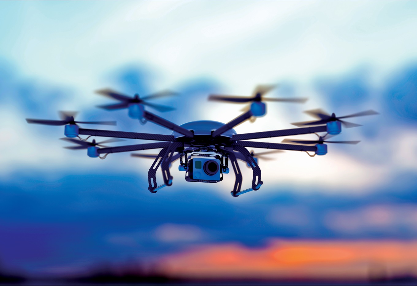
But as more and more land surveyor colleagues embrace the drone revolution, it is important to keep reminding everyone that buying an unmanned aerial vehicle (UAV) and upgrading the company from a purely ground operation to an aerial photogrammetry enterprise comes with a price.
If you are a land surveyor and decide to make the leap to aerial mapping, you have made a conscious decision to become an aviation company, and that comes with responsibilities. Aviation companies must have qualified pilots, registered aircraft, safety management systems (SMS) in place (if they want to save thousands on insurance premiums), and keep rigorous logs of every flight, every repair, every incident, and every potential accident.
Add to this that the responsibility of the pilot in command (PIC) is not mitigated by the fact that you are not onboard your aircraft. On the contrary, it is because you are not onboard that you must be more conscious of the people on the ground. Once you remove the instinct to save your own life by flying safely, the temerity factor increases, and the risks involved with an unsafe operation go through the roof.
So, is it a good idea to buy a drone and become an aviation company? Perhaps this change from ground to air operations is not for everyone, and we can see the industry moving into a model of specialized entities that will focus either on the flight or the end product.
Imagine a world in which a company can specialize in photogrammetry flights. The delivery would be a series of raw files that then can be processed by the land surveying company into an end product, saving land surveyors the enormous task of migrating from ground to air operations.
Let us have a look at the different aspects of the change that will have to take place for a land surveyor operation to turn into aerial photogrammetry.
- Surveyors will have to be trained in the operation of the drone and will have to obtain a pilot’s license from the FAA (Part 107). This license needs to be renewed every 24 months, so someone in the organization must oversee certification and licensing.
What’s more, an aircraft pilot is more than just a profession, it is a way of thinking and acting more safely and cautiously than most people. Pilots must be able to communicate with air traffic control (ATC) in case of an emergency, they must be aware of any NOTAMs (NOTice to AirMen) and they have to assume this responsibility willingly and enthusiastically, otherwise it will end badly.
- The chosen drone will have to be registered with the FAA and the company will have to assign a “responsible person” to be the main liaison with the federal agency.
- The issue of sensors is also very tricky to solve in an inexpensive manner. Different products require different sensors (photographic, near-infrared, false color, RGB, and many others), so the expense of buying a drone is now compounded by the multiple sensors, adaptors, chargers, and download equipment necessary to support the operation.
- The issue of insurance is also vitally important. It is not the same to get insurance for a pick-up truck than an aircraft, and insurance companies will probably insist on seeing a Safety Management System (SMS) in place before they give a better price on your premium. For more information on SMS go to https://www.faa.gov/about/initiatives/sms
- Airspace management will also play a key role in determining if you can accept certain jobs near airports. With the proliferation of Chinese-made drones and unfortunate accidents that happen in the early years of the unmanned revolution, certain brands have implemented a safety function known as Geofencing. This feature will prevent operations of the UAV in certain areas, mostly near airports and areas deemed sensitive, such as electric utility nuclear reactors.
This is more than an inconvenience. It might be a showstopper. Imagine your crew arriving at the job site and their drone refusing to react to commands. This will delay the operation and might derail the use of an aerial platform.
- A cultural shift is inevitable as the training of people in aviation issues starts. Employees begin to act in a manner that reflects the new responsibilities and the implications of a lax sense of safety. Owners and employees must be conscious that this is what they want for their company.
So, after analyzing all the aspects implied in the transition from ground surveying to aerial photogrammetry, the question is: Is this what you want? We all know that it sounds great, embracing a new technology and being able to offer new services, but at the end of the day the decision needs to be made that this move is the right one for your company.
Inevitably there will be companies that launch flight-only services, and they will be the ones worrying about the FAA, insurance companies, and SMS. Today, companies like Drone-Up (www.droneup.com) have launched UAV flight services aimed at the inspection industry. They offer flights for roof inspections, construction site monitoring, and some specialized deliveries. So, what’s to prevent an industrious entrepreneur from launching a similar service for geospatial purposes?
New industries always create new opportunities for further innovation, and the drone industry will create the conditions and the critical mass for flight-only enterprises, which will focus on having the latest technology and the maximum array of different sensors to satisfy every geospatial need.
This way land surveyors can offer the service of aerial photogrammetry without the hassle and complication of becoming an aviation company, and the democratization of these services will be a reality without the risks associated with an aerial operation.