
Blog
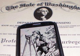
A Post-licensing World for Surveying?
One geospatial professional’s suggestions on increasing the professional aspect and relevancy of the surveying profession. Editor’s note: The subject of licensure for surveyors, photogrammetrists, and other geospatial professionals has heated up of late. This has been as a result of efforts in a number of states, including Tennessee and Washington, to redefine the definition of...

xyHt Links: 9/19/14
ION Recognizes Pratap Misra with Kepler Award MAPPS Selected for FAA Working Group on UAS Handheld’s NAUTIZ X4 Rugged Computer for the Mobile Worker Now Also with Android Global Mapper V16 Released with 3D Tools Including HD Fly-Through Geospatial Corporation Enters Into Definitive Agreement To Acquire ShaleNavigator Forensic Security and Metrology Conference MAPPS Applauds Introduction...
xyHt Links: 9/12/14
Master3DGage: Affordable, Portable 3D Inspection and Reverse Engineering Leica Geosystems releases ALS80 next generation LIDAR mapping solution with market-leading productivity The Latest SuperGIS Server 3.2 Upgraded for Enhanced Service Management and Efficiency Bring Field to Office with Smart Devices for Elevating GIS Work Efficiency Topcon and MAVinci announce Sirius Pro for use with RTK base...
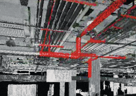
How to Talk with Clients About Laser Scanning
Clients should choose a laser scan primarily when they need to document existing conditions for a future construction or complex renovation project. When complex conditions exist, the risk of a mistake using a tape measure and sketch pad greatly increases the probability of a construction error. If this matches our clients’ needs, we then discuss...
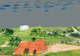
Accuracy With Small UAS Mapping
Two recent advances in heretofore unrelated technologies are giving birth to a new way to perform local-area metric mapping. The first is the development of small, unmanned aerial systems (sUAS), spurred on primarily by the miniaturization of autopilot components. The second is the development of novel algorithms for creating digital surface models from collections of...
The Lot Corner
A large survey-engineering firm had developed a subdivision, bounded by a section line on the north side and a 1950 subdivision and 1/16 line on the east side. By doing so they had exposed a five-foot overlap between the section line as run with GPS and the 1950 subdivision. They sought advice from the county...
Advertisement