Advancements in this discipline reflect changes in productivity and data flow for surveying.

The authors practicing fieldwork for their degrees at the University of Johannesburg.
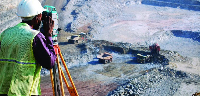
Mine surveyors are responsible for maintaining an accurate plan of the mine as a whole, and they update maps of the surface layout to account for new buildings and other structures. They also survey the underground mine workings in order to keep a record of the mining operation.
In production meetings, the surveyor is often blamed for lost production time. This is because a lag in surveying disrupts the whole operation. Therefore, surveyors need optimal performance in surveying equipment and new techniques that will save time, reduce risks, and provide the most accurate data.
New Technologies
Over the past two decades surveying has evolved from manual measurement and data entry to embracing 3D laser scanning. Scanning systems can be vehicle-mounted or automated, producing millions of 3D data points in minutes. This has enabled fast, safe, and accurate measurement of 3D mining surfaces.
The incorporation of GPS in laser scanning systems allows for continuous acquisition and registration of data into real-world coordinates. This allows operators to survey with confidence that stockpile, road, and pit surface data is correctly geo-located.
UAVs already provide a fast and accurate method of mapping and monitoring change across the mine landscape and its infrastructure. Merging terrain data from airborne mapping with oblique data from 3D laser scanners creates dense surface models that are photorealistic and accurate and provide a reliable platform for overall site management.
New Techniques
Optimal performance does not rely on the advancement of technology alone but also on using diverse methods to acquire data. This means that surveyors ought not to be restricted in using outdated, conventional methods but should look for ways to incorporate geostatistics, GIS, geospatial sciences, geodesy, and geoinformatics.
Survey is not dying out, but rather branching into other streams. Other disciplines are taking pieces of surveying to form branches of related career streams.
For example, years ago the survey manager would be in charge of the planning and sampling department. Now, this role has not been eradicated but rather expanded into a new field of study known as geostatistics/mineral resource management.
Geostatistics means acquiring and analyzing data of the earth, and that is what surveyors and geologists do: they are data collectors and data managers. Geostatistics is a particular part of a wider field of ore valuation and addresses the estimation of global and local reserves, which includes sampling strategies.
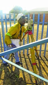
Matala’s enthusiasm for mine surveying is clear.
Even though geostatistics has been accepted as a field, people still hesitate to use it. One of the apparent reasons is that it is too complicated because of its mathematical content.
One might view this as a negative point, but one could also view it as an opportunity. The mere fact that it is “too complicated” means that it is a scarce skill, and the market often rewards those who venture into such complicated streams.
To prove this point, according to careers24.com, in February 2018 the only job available for a mineral surveyor was a survey manager job. The jobs available for geostatistics/geospatial sciences were: geospatial sales executive, aerial photogrametrist, aerial chief air operator, geospatial business representative, GIS data analyst, and lidar data processor.
This begs the question as to why surveyors want to limit themselves in one stream when there is another branch of surveying crying for professionals. Surveyors ought to develop their disciplines in such a way that they dominate these branches related to it.
The future of mining will definitely capitalize on advancements in technology such as integrated operation centers, leaps in the capabilities of surveying equipment (i.e. UAVs), and accurate and easy-to-understand 3D scanning technology. All of these give operations more support to effectively collect, interpret, maintain, record, and distribute measured data.
Mine surveying technology plays a large part of this massive shift of the mining landscape as operators are seeing quantum leaps in the capacity for spatial data collection, interpretation, and dissemination from the mine’s face through to the boardroom.