Category Archives: Cartography

Located to Mobilize Anywhere in the Continental U.S.
Midwest Aerial Photography is growing to meet our customers’ needs. Celebrating 32 years in business this year, we are capable of deploying a highly-skilled airborne data collection crew equipped with industry leading digital acquisition technology to any location in the United States and much of Canada on short notice. We take pride in our ability to...
Meet the Future of Mapping and Surveying at XPONENTIAL 2022
Innovation has never existed in a vacuum. Our world’s greatest technological advances are remembered not just for their scientific significance, but for the way they transformed the fabric of society itself. That’s why it’s critical that global leaders in uncrewed and autonomous technology collaborate on cutting-edge innovations that safely, securely, and reliably improve the human...

3D Models Above and Below
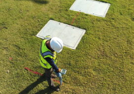
Aerial, terrestrial, and underground data tell the whole story Millions of miles of underground utilities provide U.S. communities with vital services, such as telecommunications, water, electricity, and natural gas. During construction projects, accidental damage occurs frequently due to inaccurate or non-existent documentation, a situation that can be exacerbated by inadequate research before excavation begins. Safety...

22 Young Geospatial Professionals to Watch in 2022 – 22 of 22
Throughout January and February xyHt.com is featuring young geospatial professionals who are making a name for themselves in everything from surveying to geographic information systems. xyHt featured all of them in the Name: Teresa Zgoda Company: Phase One Current Position: Systems Support Engineer Age: 26 Education: BS in Biomedical Photographic Communications Biography: Teresa provides technical...

Let’s Get Something Straight
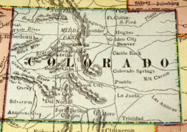
In my last Dis-Located column I wrote about the historic, economic, and unusual impact of the Potomac River dividing Maryland and Virginia, saying no other state border impacted either side quite like it. While that is true, several readers pointed out that there are other oddities among state borders created by surveyors or surveying mistakes....

22 Young Geospatial Professionals to Watch in 2022 – 21 of 22
Throughout January and February xyHt.com is featuring young geospatial professionals who are making a name for themselves in everything from surveying to geographic information systems. xyHt featured all of them in the January issue. Here we will spotlight one each day. Name: Denver Winchester Company: Crafton Tull Current Position: Vice president Age: 32 Education: Associate...
