Category Archives: Magazine

xyHt Digital Magazine: Dec 23/Jan 24
xyHt magazine’s December/January issue is our annual look at young geospatial professionals who are becoming movers and shakers in the industry. This month the magazine presents 24 young pros to watch for 2024. As always, if you don’t have a subscription to our print edition, or if someone else in the office has snaffled your...
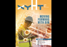
xyHt Digital Magazine: November 2023
xyHt magazine’s November issue takes a look at what’s coming in the world of building information modeling. As always, if you don’t have a subscription to our print edition, or if someone else in the office has snaffled your copy, don’t fret, here is the digital edition. Click here or on the cover to the right, to...
Interview with ChatGPT
Answers to Questions put to ChatGPT 3.5 Validating our Thought Experiment Premises How do you convert an ArcGIS vector map to a Geodesic Planetary Model using a Quaternary Triangular Mesh (QTM) ChatGPT:Converting an ArcGIS vector map to a Geodesic Planetary Model using a Quaternary Triangular Mesh (QTM) is a complex process that involves several steps....
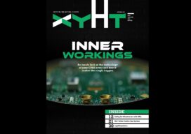
xyHt Digital Magazine: October 2023
xyHt magazine’s October issue goes inside the GNSS rover to see exactly what’s in it and reveal how the technology works its magic. As always, if you don’t have a subscription to our print edition, or if someone else in the office has snaffled your copy, don’t fret, here is the digital edition. Click here or...

What’s Inside Your GNSS Rover? Part 1
The venerable GNSS rover, has evolved into an essential part of a surveyor’s toolkit, although some mystery remains as to what that magic box does and how it does it. To demystify this, we engaged GNSS engineers to help craft this three-part “explainer” series. Part one The work of a surveyor requires a lot of...
xyHt Digital Magazine: September 2023
xyHt magazine’s September issue goes inside the GNSS rover to see exactly what’s in it and reveal how the technology works its magic. As always, if you don’t have a subscription to our print edition, or if someone else in the office has snaffled your copy, don’t fret, here is the digital edition. Click here or...