
Category Archives: Surveying
Bridging PPP and a Legacy National Datum: A Velocity-Driven Transformation to HGRS1987
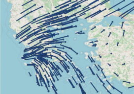
D. Ampatzidis, A. Tsimerikas, G. Moschopoulos, K. Balidakis and A. Mouratidis EDITORIAL DISCLOSURE — The article is an editorial adaptation and professional-magazine presentation of research already published by the authors in the peer-reviewed Bulletin of Geophysics and Oceanography: Ampatzidis, D., Tsimerikas, A., Moschopoulos, G., Balidakis, K. and Mouratidis, A. (2025), “The alignment of PPP-derived coordinates...
The Billion-Dollar Basemap
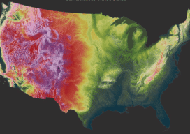
After two decades and a collaboration commonly valued at around a billion dollars, the United States has been mapped wall to wall in high-resolution lidar. The harder question begins now — what it costs to keep a national elevation model current, and who documents it well enough to trust. XYHT STAFF In a packed auditorium...
Hardware Ships in Days. Competence Takes Weeks.
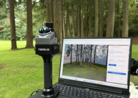
A four-level ladder for handheld SLAM operators — and the training projects that climb it The geospatial industry is buying handheld SLAM scanners faster than it is building the people who can run them. The instrument looks effortless, the live preview always shows something, and whether that something survives as a professional deliverable is decided...

The Flock and the Fleet: The Rise of Coordinated Multi-Platform Hydrography
Hydrographic survey has always demanded precision, expertise and significant resources. Now, it’s also becoming fast, accessible and scalable. By Vicki Speed The hardest part of hydrographic survey in modern practice is typically not the physics. Multibeam sonars, inertial navigation and sound-velocity profiling have been able to map the seafloor in exceptional detail for years. The...

Charting the Caribbean’s Future: How Lidar Data Is Transforming Climate Resilience Across the Region
By Dr. Mark Bynoe and Sven Cowan When a major storm sweeps across the Caribbean, coastlines can change in an instant. Beaches vanish. Cliffs shear away. Floodwaters push inland into neighborhoods and tourist meccas once considered safe. Climate change poses significant problems in the region. Damaging floods and storms have more than tripled since the early 2000s,...

Topcon Launches Innovations Supporting Integrated Geomatics Workflows at INTERGEO 2026
Topcon Positioning Systems announces additions to its geomatics portfolio designed to support integrated digital workflows for survey, construction, and infrastructure projects. The new solutions expand Topcon’s geospatial ecosystem, including reality capture, positioning, data management, monitoring, and subsurface intelligence technologies to improve accuracy and the flow of information on projects. The announcement was made in conjunction...