






Top Stories
Get your top stories below
Drone Processing Services: The Importance of Keeping the Human in the Loop
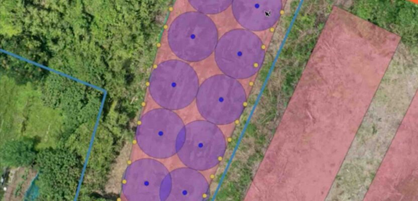
Using a drone processing service can make firms, large and small, more competitive. AI is working wonders for specific steps, ...

Shining a Light Into Black Boxes
AI-infused 3D modeling of substations, pump houses, and other facilities offers utilities immediate benefit By Ben Dwinal Using advanced GIS ...
The Best Maps Are Not Behind Us
Professional cartographer Evan Applegate shares his mapmaking process, including what’s inside his toolbox. He also tells us why in-person feedback ...

What’s New EagleView?
A conversation with EagleView CEO, Piers Dormeyer about aerial imaging markets, value-added services, and what role could, and is playing ...

The Still-Essential Skill of Cartography
Looking Forward When my kids were in high school, I made them learn to read a map. Their mother was ...

xyHt Digital Magazine: July/August 2024
xyHt magazine’s July/August 2024 issue focuses on surveying and mapping, with an in-depth look at a map maker of the future ...

xyHt Weekly News Recap: 06/28/2024
The Black Cape Scholarship for Women in Geospatial Intelligence EUSI Delivers SAR Imagery to DLR for Rapid Mapping of Southern ...

A Digital Twin of Bandelier National Monument
Two graduate students, Gracie Meek and Jialei Tang from the Harvard Graduate School of Design, are capturing the past with ...

A National Imperative
Protecting both legacy and green offshore energy sources with new technologies should be a national priority For the foreseeable future, ...

Water from the cloud
Water utility companies are tapping into geospatial cloud computing to map their infrastructure, streamline workflows, and enhance customer services ...

Sea Life in Seattle
Laser scanning helped the city create an aquarium great for wildlife and visitors Seattle, Washington, renowned for its vibrant cultural ...

MAPPS, NOAA, and the federal Agency Liaison Program
This is the second in a series of four articles that highlights the MAPPS Federal Agency Liaison Program with federal ...
