





Top Stories
Get your top stories below

How to Win a Boundary Dispute Case
Legal Boundaries There are many players in a boundary dispute case, the judge, perhaps a jury, the parties, the attorneys, ...

The Surveyor and the “Geodesy Crisis”
Surveyor’s Corner By Tim Burch To the average professional surveyor, the term “geodesy” does not exist in their everyday conversations ...

Beyond On-the-Job Training
By Tony Nettleman Throughout the history of land surveying, on-the-job training has been a significant portion of employee development. But ...

Advancements in Parcel Mapping Tools- Part 2
Whether a parcel map is created for an engineering project, land development, valuation, tax assessment, land administration and management, for ...

From Meters to Centimeters
Understanding correction services for GNSS By Towfique Ahmed Real-time correction services were created to enhance the accuracy of Global Navigation ...

Located: April 2025
Compiled by Jeff Salmon Europe Kickstarts its Own Sat-Com The European Union will soon boast its own secure communication satellites system ...
Hardwired to Build
This cybernetics engineer is laying the groundwork for robust automated systems that will help us construct our future spaces. Her ...

xyHt Digital Magazine: April 2025
xyHt magazine’s April issue focuses on surveying and takes an in-depth look at the modern state of the art of surveying ...
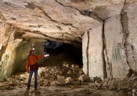
Creating Digital Twins for Water Resource Management in Caves
A substantial part of Switzerland's water resources exist in its complex karst aquifers, a critical natural system that continues to ...
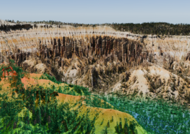
Advancing Geospatial Excellence
Advancing Geospatial Excellence: A model for public-private collaboration ...

Advancements in Parcel Mapping Tools – Part 1
Whether a parcel map is created for an engineering project, land development, valuation, tax assessment, land administration and management, for ...

What is an Accurate Survey?
The surveying profession has always been a measure-centric profession. What I mean by that is surveyors love their measurements, and ...
