Heights 2016 Archives
A Crowning Achievement in Nepal
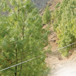
An ICIMOD team manually validated the accuracy of the 2011 classification maps. Pairing satellite imagery with advanced object-based image analysis helps people in Nepal better manage vital resources. For decades, the high-mountain regions of Nepal have been caught in a perpetual catch-22. The small populations of these remote, isolated areas depend nearly exclusively on local […]