Heights 2016 Archives
The Merging Trend in Aerial Mapping
My take on company consolidation in the aerial mapping industry. The old saying—that history repeats itself—seems to be as true as ever in the photogrammetric mapping industry. Twenty years ago, an investment group began acquiring aerial mapping companies with the goal to amass a powerhouse that would dominate the industry. I call this the battleship […]
WaldoAir &The Space In-Between
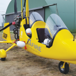
James Summerville, president and CEO of WaldoAir, talks about how its aerial imaging system is capturing the niche between conventional UAS imaging systems. Heights: What were the driving forces for the development of the XCAM system? James Summerville: In 2013, my business partner Jim Kain and I decided the marketspace for imaging systems was overloaded […]
UAS Legislative Round-Up
What will 2016 mean for online commercial sUAS registration in the NAS? Online Registration Last year, registration for hobby/recreational sUAS went online. It was so simple I think it has confused people as to what the commercial registration process will look like. Because I have a recreational sUAS and am required to register it, I […]
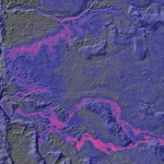
Shedding Light on Lidar
RIEGL USA’s CEO talks about the important trends in the lidar profession. For an inside look at the lidar profession, Heights interviewed James Van Rens, CEO of RIEGL USA. RIEGL provides a wide range of lidar scanning solutions for the aerial mapping and surveying profession, as well as mobile and terrestrial scanning applications. Van Rens […]
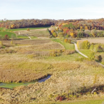
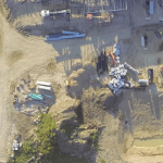
Thermal Imaging Heats Up the Geospatial World
Thermal Infrared (TIR) remote sensing technology makes existing applications more cost-effective and creates new applications, including for the environment. News footage frequently shows a dramatic scene of a suspect hiding in the shadows on a pitch-black night. Despite the darkness, the subject glows white-hot in the video recorded from a police helicopter’s thermal infrared (TIR) […]
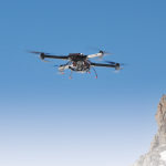
Cutting through the Hype
A roadmap for leveraging UAS for aerial mapping practitioners in the United States. I often ask my clients if they’ve had a conversation in the last 24-48 hours where the use of drones has come up. Invariably, they chuckle a bit and answer, “Yes.” Virtually all professional conferences in the geospatial industry have numerous presentations […]