Tag Archives: orthophotograghy
Using Ortho Imagery (Digital Aerial) in ArcGIS Pro
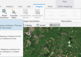
The new version of Esri’s ArcGIS Pro software offers the capability to use stereo imagery, something of great use to those looking to digitize and use 3D vector data. To this end, I thought I would try bringing in some stereo aerial data to see how the process works within ArcGIS Pro. Vague Knowledge At...

1,500+ Flights
Can an owner/operator sustain a thriving business using only UAS? It’s happening in New Zealand with orthophotography of farmland. After little more than four years in the orthophotographic business, Chris McFadzean, owner/operator of Epiphany Mapping in New Zealand, has logged more than 1,500 UAS flights. This makes him one of the most experienced UAS pilots...