If you follow trends in industry that serve our profession, it is impossible to not see articles and advertisements about the use of remote sensing technology. Unmanned Aerial Systems (UAS/drones) tend to be the leaders of the pack for many reasons. However, there are several others, from stationary and mobile terrestrial lidar scanners and cameras, to manned aerial applications; fixed wing and helicopter, and even satellite/space-based remote sensing products, such as Interferometric Synthetic Aperture Radar (InSAR). The development of these tools and platforms has created the ability to collect massive amounts of high quality, georeferenced data very quickly, often with a density and detail we never dreamed of 30 years ago, maybe less.
The uses and applications of these products extend far beyond the boundaries of the extensive portfolio of surveying and engineering applications. Environmental, emergency response and recovery, agriculture, asset evaluation and management, autonomous/connected vehicles, and various societal applications come to mind. There seems to be no bounds to how remote sensing applications and data are being leveraged.
With the proper instrumentation, it is now possible to collect more than a million points per second in all directions at or near highway speeds. The post-processed positional accuracies (absolute), without registration to ground targets, are often sub-decimeter in both horizontal and vertical. The relative accuracies are much better yet. Registering the point cloud data to targets often yields accuracies well suited for many engineering applications.
Similar speed and results are possible, again when properly equipped, for UAS collected data. Properly placed and surveyed ground control points tighten up the positional accuracies to below five centimeters in all dimensions at the one sigma confidence level. Fantastic tool for measuring earthwork quantities for payment or monitoring borrow sites, among many others.
Efficiencies in time and cost are often used to quantify the return on investment (ROI) of employing these data collection systems in comparison to traditional “boots on the ground” or photogrammetric methods for smaller sites. Rightly so. More difficult to quantify is the value of the density of the data for producing more accurate surface models and facilitating more accurate evaluation of conditions. No “boots on the ground” are going to collect the same density of points across rough or unstable terrain as can be collected quickly and repeatedly from a UAS.
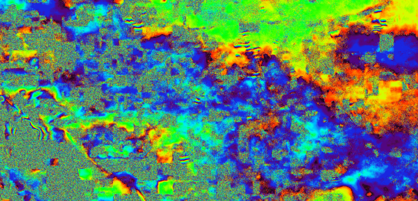
Saving time and money to deliver products in ways not possible a few decades ago are reasons enough to embrace remote sensing technology. In the case of satellite-based remote sensing data, we are able to perform change detection over very large areas with very high relative accuracies. Elevation changes in areas prone to subsidence can be assessed regularly, and detected early, even in localized areas. For managing groundwater basins, mitigation measures can be taken to reduce the impacts and track the changes in near real-time.
However, far and away the most valuable aspect that remote sensing has improved for land surveying data collection efforts is safety. Nobody must get on or near an unstable landslide to collect critical information. When a flood protection structure is in danger of failing, critical monitoring can be done rapidly, remotely, and safely. A UAS can be deployed over these types of dangerous situations as frequently as needed, weather permitting.
For terrestrial scanning, the exposure of surveyors to traffic, and the traveling public to surveyors (and possible distractions) is greatly reduced. Scanning of structures, such as bridges, reduces or eliminates the exposure to fall hazards, not to mention (again) a lot more data is collected entirely from a safe platform.
Software for stitching together remote sensing data and performing automated feature extraction has greatly improved over just the last few years. More efficiencies. If the data were properly controlled and georeferenced, requiring a professional land surveyor in many states, technicians can be employed to perform the data extraction and create the desired three-dimensional deliverables—all in a comfortable environment, rather than in potentially hazardous field conditions.
One other area that I feel compelled to mention regarding use of UAS technology is performing bridge inspections. Certainly not a land surveyor task, but a “people” task, and we all care about their safety. Dangerous work, even with proper training and equipment, that once took a week can now be done 100 percent safely within a matter of hours by skilled UAS operators. No climbing, rappelling, crawling, dangling, or puckering involved. If areas of concern are detected, additional flights can be performed to capture more focused data more frequently. Even if it cost more than the old way, it would be worth it.
Of course, there are some areas of concern with the explosion of any new technology. Just like GPS made everyone a surveyor/geodesist (or thought they were), the potential for misuse and protected practice violations exist, most notably with UAS deployments. As stated earlier, positioning ground control points and determining the accuracy thereof, is defined as land surveying in most states. Photogrammetry is also protected as part of land surveying in many states. If we don’t assert ourselves to impart our expertise in these applications, well, we all know what will happen. Poor products will be used for the wrong purposes resulting in increased costs, do-overs, and possible failures. This is an opportunity for UAS to be a big part of the future called “Virtual Design through Construction (VDC)” or “Building Information Modeling (BIM),” so seize it. If we don’t, the ship will sail without us. We have seen it happen before.
Oh, and don’t forget to put a few petabytes of storage on layaway. You likely are going to need it sooner than you think. And don’t forget to buckle up on the way to the IT store.