All posts by Jeff Thoreson
Recording Earth’s Changes
Looking Forward What could you do if the entire world was remapped every 12 days? How would that impact your sector of the geospatial world? I pose the question because it is in the process of being answered, though not necessarily from the geospatial professionals’ point of view. So, it is important that we all...
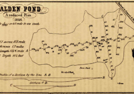
A Happy Loneliness
Finding My Boundaries As a college freshman, my American lit professor assigned the class to read Walden by Henry David Thoreau. I was excited about the assignment, largely because I had already read the book and enjoyed it so, figured I could cruise through this section of the class while others struggled to comprehend Thoreau’s...

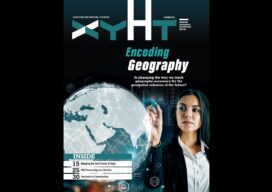
xyHt Digital Magazine: November 2022
xyHt’s November issue takes a look at the future of the geospatial professions. Who will fill all the jobs that older professionals are retiring from? As always, if you don’t have a subscription to our print edition, or if someone else in the office has snaffled your copy, don’t fret, here is the digital edition. Click...
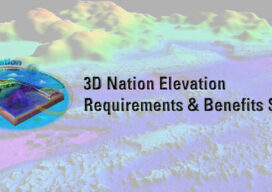
3D National Elevation Study Results are In
The 3D Nation Elevation Requirements and Benefits Study, led through a partnership between NOAA and USGS, with Dewberry as the contractor lead, is now available, and the results can be found through this website: https://www.usgs.gov/3d-elevation-program/3d-nation-elevation-requirements-and-benefits-study. The 3D Nation Study builds on the National Enhanced Elevation Assessment (NEEA, Dewberry, 2012) to document U.S. topographic, and inland, nearshore,...
In Vegas, a Vision of the Future
If further proof is needed that in-person conferences are back and stronger than ever, just turn to last month’s Commercial UAV Expo in Las Vegas. A record number of attendees spent three days perusing a jam-packed Caesars Forum convention hall looking at everything from long-established Amazon Prime’s latest delivery drone to up-and-coming Fixar’s autonomous fixed-wing...

FARO Buys GeoSLAM
FARO® Technologies, Inc. has bought mobile scanning company GeoSLAM in a effort to expand and accelerate FARO’s market grown opportunity in the mobile scanning space. Founded in 2012, GeoSLAM has grown into a leading provider of mobile scanning solutions with proprietary high-productivity simultaneous localization and mapping (SLAM) software to create 3D models for use in...