All posts by Jeff Thoreson

Looking Forward: The Ocean
I have been fascinated by the ocean since my parents first planted me on a beach towel along the sandy expanse of the Atlantic Ocean when I was barely old enough to care. Like fire, the ocean is always the same but somehow is constantly changing. It has a mesmerizing quality of ever-flowing motion and...
xyHt Digital Magazine: June 2023
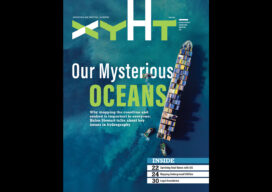
xyHt’s June issue focuses on hydrography and the importance of our ocean, both mapping the seabed beneath the water and the surface factors that influence everything from commerce to climate change. As always, if you don’t have a subscription to our print edition, or if someone else in the office has snaffled your copy, don’t fret,...

xyHt Weekly News Recap: 05/26/2023
Overture Maps Foundation Names Marc Prioleau Executive Director Phase One Announces iXM-SP150 at GEOINT Trimble Advances Reality Capture with the New X9 3D Laser Scanner Maptitude Revolutionizes School Redistricting Process for Nashua School District Esri Opens New St. Louis Office in Emerging GEOINT District USGIF Announces 2023 Lifetime Achievement Award Recipient Sonardyne upgrade for India’s...

The Incredible UAV
Looking Forward Land surveyors aren’t just surveyors anymore. Map makers aren’t just cartographers anymore. We are all tied together in these geospatial professions of measuring, mapping, photogrammetry—anyone who collects and interprets data. We are ‘geospatialists.’ One of the things that tie all of us together is uncrewed aerial vehicles. A few years ago, who would...
xyHt Digital Magazine: May 2023
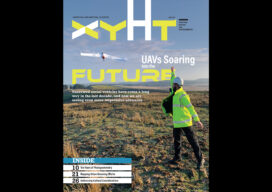
xyHt’s May issue focuses on uncrewed aerial vehicles and uncrewed aerial systems. As is the case with almost every aspect of the geospatial professions, UAVs and UASs are constantly evolving with advances in technology. As always, if you don’t have a subscription to our print edition, or if someone else in the office has snaffled your...

The Cahokia Mounds
The largest single-instrument geophysical survey ever in America hopes to uncover some of the mysteries of the Cahokia Mounds Long, long before any of our great Mississippi River cities, and long before Europeans landed on New World shores and pushed westward, Native Americans were thriving in an urban center so big and so complex it...