All posts by xyHt
Introducing Exyn Nexys –
A modular mapping and surveying ecosystem that allows users to quickly capture highly accurate, colorized, real-time 3D point clouds in complex, dangerous, or inhospitable environments like those in the mining, AEC, and geospatial industries.
Lidar Uncovers Massive Ancient City in Amazon
hanks to aerial lidar surveying, a huge ancient city has been uncovered in the Amazon, unseen for thousands of years due to lush vegetation.
xyHt Digital Magazine: March 2024
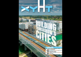
xyHt magazine’s March 2024 issue is takes a look at construction and the geospatial aspects of the industry, especially artificial intelligence. As always, if you don’t have a subscription to our print edition, or if someone else in the office has snaffled your copy, don’t fret, here is the digital edition. Click here or on the...

xyHt Weekly News Recap: 02/09/2024
Bluesky Aerial Photos at Heart of New Met Police Mapping Tool Hyperspectral Insights to Understanding the Earth Digital Construction Week Set for June in London TCarta Plans Bathymetric Mapping Workshop for Jamaica Canadian Hydrographic Conference Set for May in Newfoundland YellowScan Launches Bathymetric Lidar System Techtree Unveils ‘AROUND,’ A New Era in Geospatial 3D Visualization ...
Felipe Gonzalez
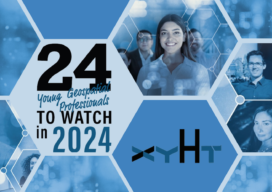
24 Young Geospatial Professionals to Watch in 2024 Company: Trimble IncCurrent position: Product manager, data insightsAge: 26 Education: BS in geomatics engineering, York University Gonzalez is a dynamic professional with a rich background in data analytics, product management, and geospatial engineering. At York University, he gained a strong background in geospatial theory and practice. He...
Frank Romo
24 Young Geospatial Professionals to Watch in 2024 Company: RomoGIS EnterprisesCurrent position: CEOAge: 33Education: MS urban and regional planning; graduate certificate in real estate development from the University of Michigan. Columbia University New York/Paris Urban Design and Architecture Program participant. BS in urban studies, Loyola Marymount University. Frank Romo is a social-good focused creator, entrepreneur,...