
Blog

xyHt Weekly News Recap: 08/27/2021
Aero-Graphics Contracted by U.S. Geological Survey (USGS) SoCalGas to Use Gas Mapping LiDAR to Reduce Methane Emissions USDA to Use Planet Basemaps for 2021 Growing Season Assessment Maxar Awarded Big Data Analytics Contract from NGA Drone Operations Collaborative Helps Utilities Respond to Disasters Maxar Awarded $26M Contract for NGA’s Open Mapping Platform Hovermap Compatibility Expanded...

Walden Environmental Engineering Captures New Insights and Revenue
Emesent Hovermap was used by Harkin Aerial to conduct internal and external scans of assets for Walden Environmental Engineering. This resulted in simplified and streamlined projects with improved efficiency.

The State of MAPPS
Rapidly moving forward in a pandemic and beyond It has been an exciting year in the MAPPS community! While much of the nation was somewhat idle, our MAPPS members were actively supporting our nation’s needs from our offices, at job sites, and remotely at our homes, fulfilling needs emanating from federal, state, and local government...
What’s the Buzz?
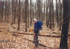
While I was employed at Rettew Associates, Inc. in the late 1990s, I worked with a great survey technician by the name of Craig West. Craig and I got the opportunity to work together on a big boundary survey for the National Park Service along the Appalachian Trail in Maryland. The boss sent me because...
xyHt Weekly News Recap: 08/20/2021
Airbus’ UP42 Partners with HyperVerge for AI-based Satellite Imagery Analytics NV5 Geospatial Expands Mobile Mapping Fleet Webinar: Commercial UAV Expo Sneak Peek Future of Enterprise Drone Inspection Arrives with Plug-and-Play Integration NV5 Geospatial’s Michael Shillenn Elected to MAPPS Board of Directors SAM Announces Acquisition of Johnson Surveying and Mapping Esri and National Geographic Society Launch Global Storytelling Challenge Nearmap Aerial Imagery Expands...
Reasons Not to Apportion Subdivision Lots
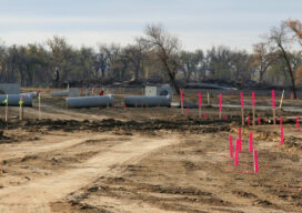
Apportioning excess or deficiency in platted lots seems like a quick and painless solution to a problem subdivision retracement when original corner marks are not immediately apparent.
Advertisement