
Blog
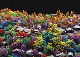
Seeing the Trees and the Forest
How airborne lidar and hyperspectral imaging helps improve America’s green space and, ultimately, our quality of life

xyHt Weekly News Recap: 08/12/2021
For the 2nd year in a row, Aero-Graphics is included in Inc. Magazine’s List of the Top 5000 US companiesAEM President Dennis J. Slater to Retire after 23 Years as President Fugro Answers Remote Geo-data Needs with New Uncrewed Capability NV5 Geospatial Launches Trim Optimization Esri Offers Free Online Course on Cutting-Edge Imagery Capabilities Innoviz...
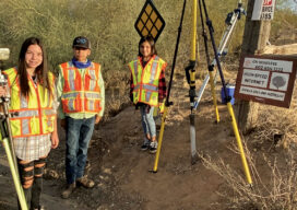
Generation S(urveyor)?
A surveyor’s children are introduced to the ancient craft with real, hands-on experience
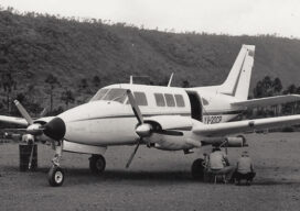
Looking Back
Using a single-beam laser to create a mapping profile in the Amazon jungle was a hint at aerial technologies to come
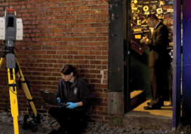
The Early Days of 3D Scanning: Part 14 & Final
Milestone advances since the early days got scanning to where it is now

The Growing Use of Drones… In Crime Scene Investigation
With the sky darkening over an empty parking lot by the railroad tracks in Las Vegas, Nevada, the group of law enforcement professionals leaned in to hear Douglas Spotted Eagle, founder and director of educational programming at Sundance Media Group and a well-known industry figure, explain how drones would be used to capture the simulated...
Advertisement