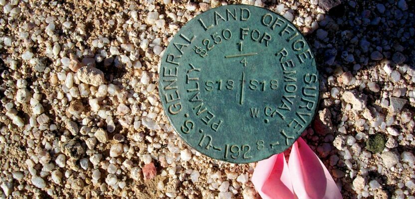
Is there a difference between a monument and a corner? Many surveyors use these two terms interchangeably as if they were synonymous. Technically speaking they are not the same, but in many instances a monument will be the physical manifestation of the true corner location. This is the ultimate surveying question, is that monument actually the corner?
In the context of boundary surveying and property boundaries, the title to property is a legal question while the location of property on the ground is a question of fact. In Curtis M. Brown’s book Evidence and Procedures, this is referred to as an “old saying” of the courts. It is much more than that, it is a well-established doctrine of American boundary law.
“What are the boundaries is a question of law, and where the boundaries are is a question of fact.” DD&L, Inc. v. Burgess, 753 P.2d 561, 564 (Wash.App.1988). [Emphasis added.]
Consequently, a property corner is a legal concept while a boundary monument is a physical object—a fact if you will. In a perfect world every corner would be monumented and every boundary monument would represent a legally contemplated corner location.
In the early part of my surveying career, I had encountered this concept on many occasions, however, I never gave it much attention, after all it was just an “old saying.” A few years post-law school, while doing some legal research, it dawned on me just what this little “old saying” meant. The resolution of any boundary problem is a two-part question. The legal question is, what is the property? The factual question is, where is it located?
This was nothing less than an epiphany in my surveying practice. The title question and the location question are two separate yet related questions. I suddenly realized that just because the monuments on the ground do not match the geometry in the deed, this does not mean that the monuments on the ground are not representative of the true and correct property corners.
This is when the confusion I was having in my mind about issues I was facing in my surveying practice began to clear up. I started wrapping my brain around the concept that the title documents do not dictate location, they simply provide the means for location.
“It is not the office of a description [in a deed] to identify the premises, but to furnish the means by which they can be identified.” Sengfelder v. Hill, 21 Wash. 371, 379 (Wash.1899).
In modern practice we still see that the confusion over this issue continues to run rampant. Too many who should know better, still don’t have a clue. I’ll refer to them as “the lost”. When the title documents do not match what is found on the ground this creates a dilemma for both the lost title attorney and the lost land surveyor. In a broad sense, this leads to one of two actions.
A surveyor holds the monuments as true and correct corners, although less than perfect. The title attorney may accept this solution but will then insist that the surveyor write a new “as-surveyed” description so they can have all of the parties involved (the landowner and all affected adjoiners) sign quit-claim deeds to the surveyed boundaries to “correct” the title. The traditional solution to the dilemma for the surveyor has been to simply drive new pins in the ground, in many cases right next to pins already in place, to “correct” the location. The lost are happy.
In other words, the attorney’s solution is to force-fit the title to the ground and the surveyor’s solution is to force-fit the ground to the title. This is the sequel to the movie, “Dumb and Dumber.” However, while the attorney’s solution is memorialized on paper that few will see or understand, the surveyor’s solution is on the ground for all to see and wonder. So, who’s Dumber?
The retracement surveyor has only one job, retrace the boundaries; and only one question, where are they? Monuments in the ground don’t mean nothing, they are representative of the corner location or they are not. We can’t control what the legal profession does, no matter how bad they do it. We can only control what we do, so let’s do it well.