
Blog
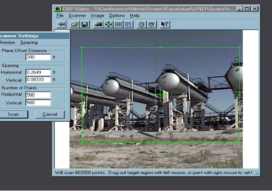
The Early Days of 3D Scanning, Part 3: Cyra Unleashed
In Part 1, I described how in 1996, while working for Trimble, I first became aware of 3D laser scanning. It was being developed by Cyra Technologies Inc., a small start-up that had approached Trimble seeking a potential partnership. The jaw-dropping technology demo hooked my interest. In Part 2, I described my role in evaluating...

xyHt Weekly News Links: 08/21/20
ATLAS and BlackSky Harness Expanded Earth Observation Capabilities Using LiDAR from a Drone for Detailed Mapping of Hard-to-Reach Locations Phase One and Acecore Integrate Camera and Drone Technologies GNSS RTK Rover with Visual Positioning Simplifies Surveying UAS TO Launch Navigation Satellites New Esri Textbooks for Spatial Education

Galapagos in 360 Degrees
“Like cinders… infernal… leafless…” Charles Darwin wrote those words in his diary on September 16, 1835, after setting foot for the first time on the Galapagos. Darwin, whose scientific work in the far-flung archipelago considerably changed our understanding of how life on Earth evolves, was a keen observer of nature. And on that day, while...
xyHt Weekly News Links: 8/14/20
TDI-Brooks Maps the Liberty Ship Reef Site George Vancouver Introducing the FARO Trek METALCON Update Helicopter-based Lidar for Snow and Ice Observations 3D Modeling for Construction: Lidar vs. Photogrammetry AerialSphere Next-Gen Mapping Technology May Change How Consumers Experience Real Estate Iceland Space Agency: Mirroring the Environment on the Moon and Mars!
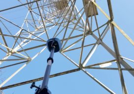
What is Tersus GNSS?
I had seen the name Tersus GNSS in geospatial social media for several years before our xyHt team stopped by their booth at the INTERGEO exhibition in Berlin in 2017. For a startup, launching in 2014, the company appeared to be making a lot of the right moves. As high precision GNSS was entering what...
xyHt Weekly News Links: 08/07/20
RIEGL’s Ultimate LiDAR Webinar Series and More: August 2020 SAM Announces Acquisition of Midland GIS Solutions Eyefly Uses Phase One iXM-100 to Achieve High-Resolution Image of Buggenum Railbridge Teledyne Optech extends its innovative airborne lidar sensor series with new corridor mapping model Versatile Geospatial Program Director Shelly Carroll Joins Woolpert GeoCue adds RIEGL Solutions to...
Advertisement